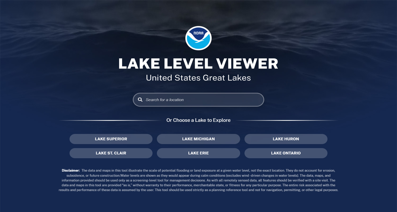
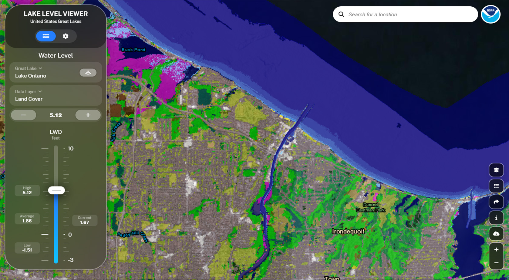
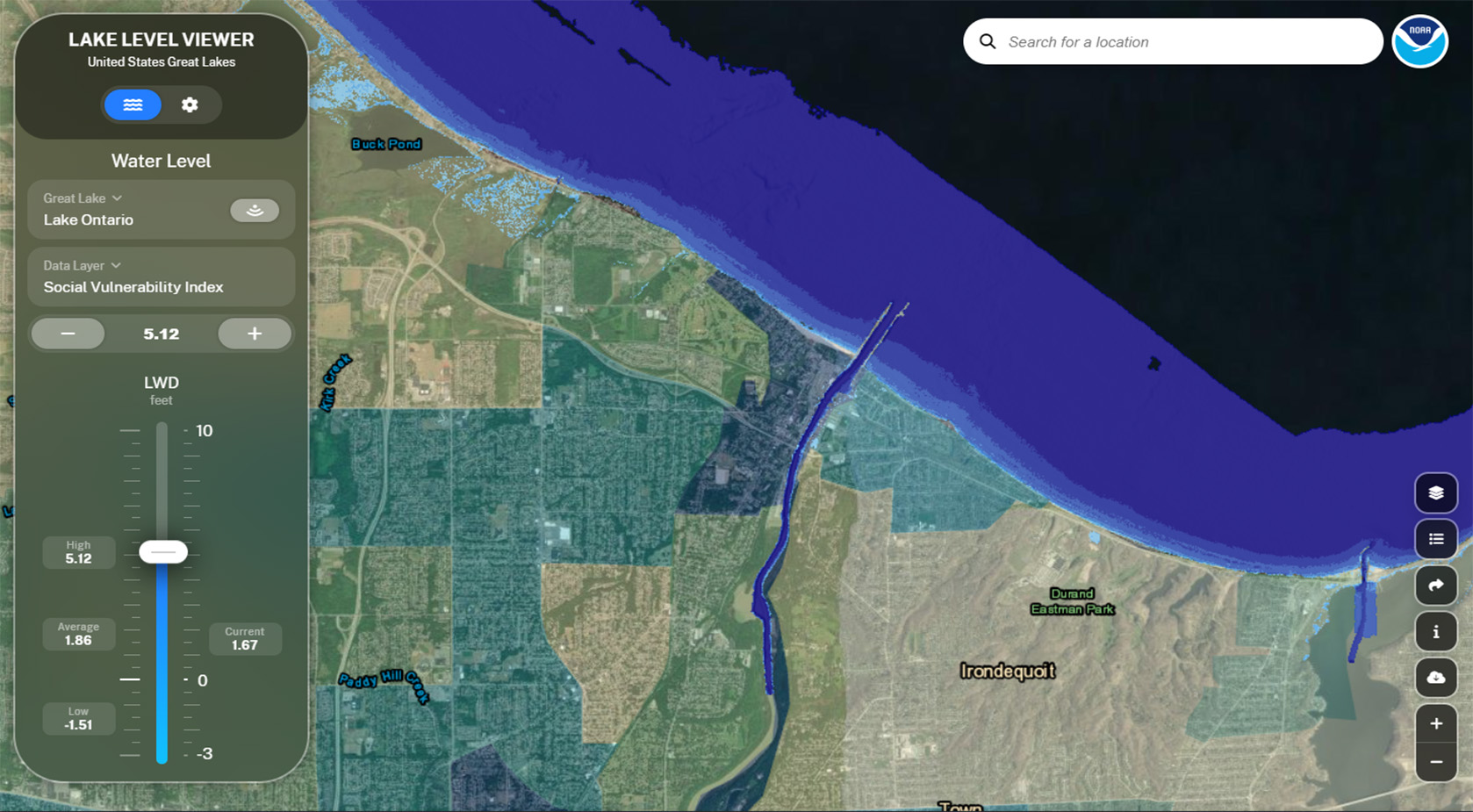
Overview
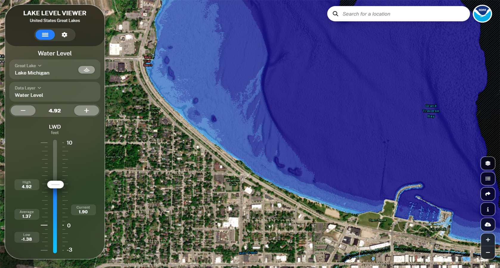
This web-based tool creates visuals that capture lake level changes that range from three feet below to ten feet above Low Water Datum (LWD) in the Great Lakes. Potential shoreline and coastal impacts are also provided. This information can be used to determine appropriate preparations, including zoning restrictions, infrastructure improvements, and habitat conservation.
Features
- Visualize impacts of changing water levels
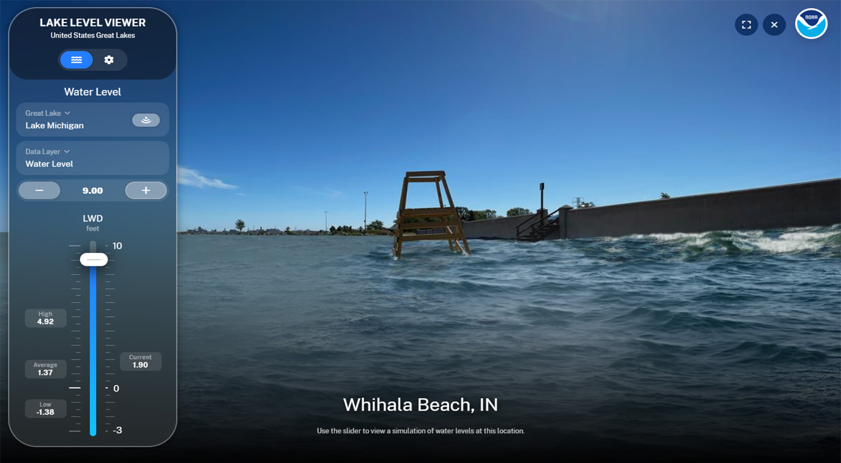
- View photo simulations of potential impacts
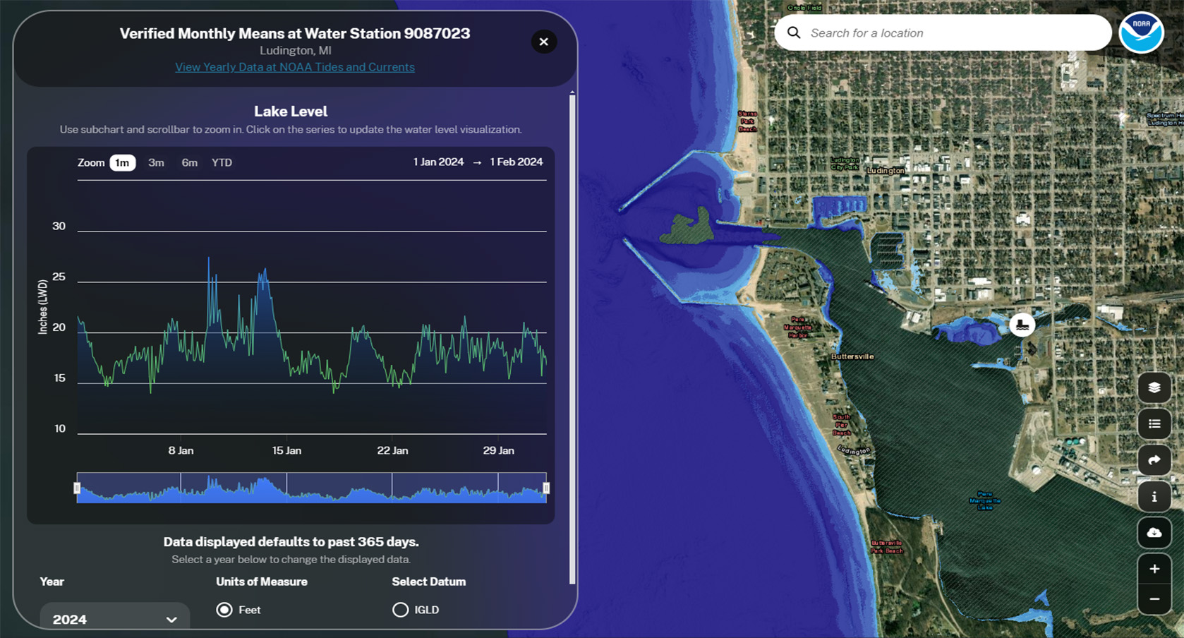
- Examine historical water levels
- View six-month lake level forecasts
- Obtain direct access to data and services for customized analysis
Additional Information
Support
Resources
Acknowledgments
Tool Screenshots