Issue
Coastal management is a complex, multifaceted profession, and coastal managers must know how to apply their knowledge in many real-world situations in order to best serve their communities.
Process
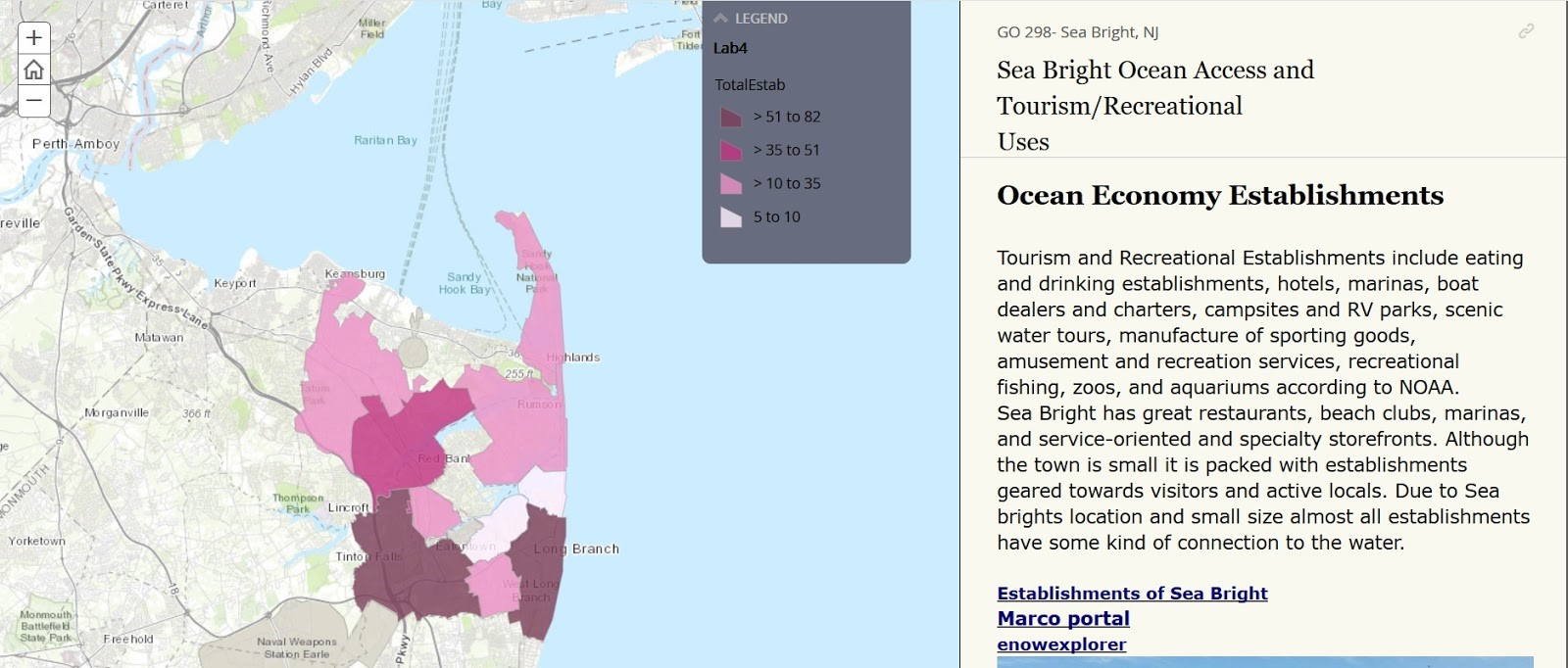
The GIS Applications in Marine Science and Policy class at Monmouth University in New Jersey arms future coastal managers with knowledge through hands-on practices. The interdisciplinary class introduces students to coastal and ocean management through the lenses of human geography, ecology, and planning and policy. Students attend lab sessions, using real-life ocean data and tools to apply skills they learned in lectures. They use NOAA’s Economics: National Ocean Watch (ENOW) data explorer and the Sea Level Rise Viewer to understand coastal communities’ ocean dependencies and vulnerabilities, and use methods developed by the Office for Coastal Management to estimate the economic contribution of working waterfronts. At the end of the course, students develop story maps that describe the human dimensions of coastal and marine spatial planning.
Impact
Using data in real-world settings enables the students to better understand how they will use these processes in planning and policy as they enter the job market.