Overview
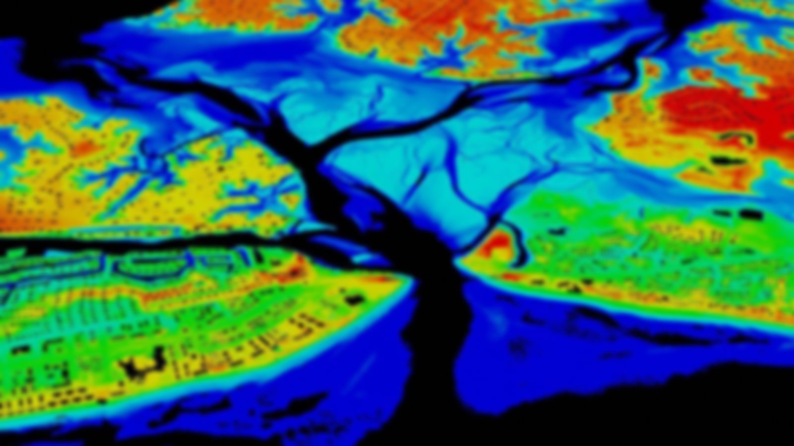
This imagery was collected from multiple aerial data sources, including digital and frame cameras. The imagery supports a number of initiatives, including habitat mapping (upland, wetland, benthic, and submerged aquatic vegetation), and as a pre-hurricane baseline data source.
Featured Resources
- NOAA Digital Coast Raster Datasets
- GeoZone Blog — Posts about imagery data
