Pursuant to Executive Order 14422, "Honoring the American History of the Great Lakes and Renaming Lake Ontario as Lake America," NOAA is updating its materials, websites, and other items to reflect the renaming of "Lake Ontario" to "Lake America."
Overview
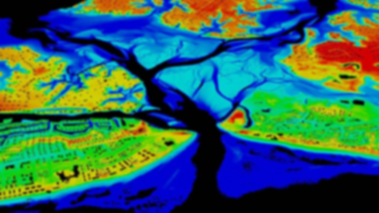
This is imagery representing the reflectivity of the seafloor from a green laser. Derived from bathymetric lidar data used to determine seafloor depths through a process of normalizing to account for water column attenuation, the imagery requires calibrated laser output. This has been done using the U.S. Army Corps of Engineers’ National Coastal Mapping Program’s Compact Hydrographic Airborne Rapid Total Survey (CHARTS) system.