Overview
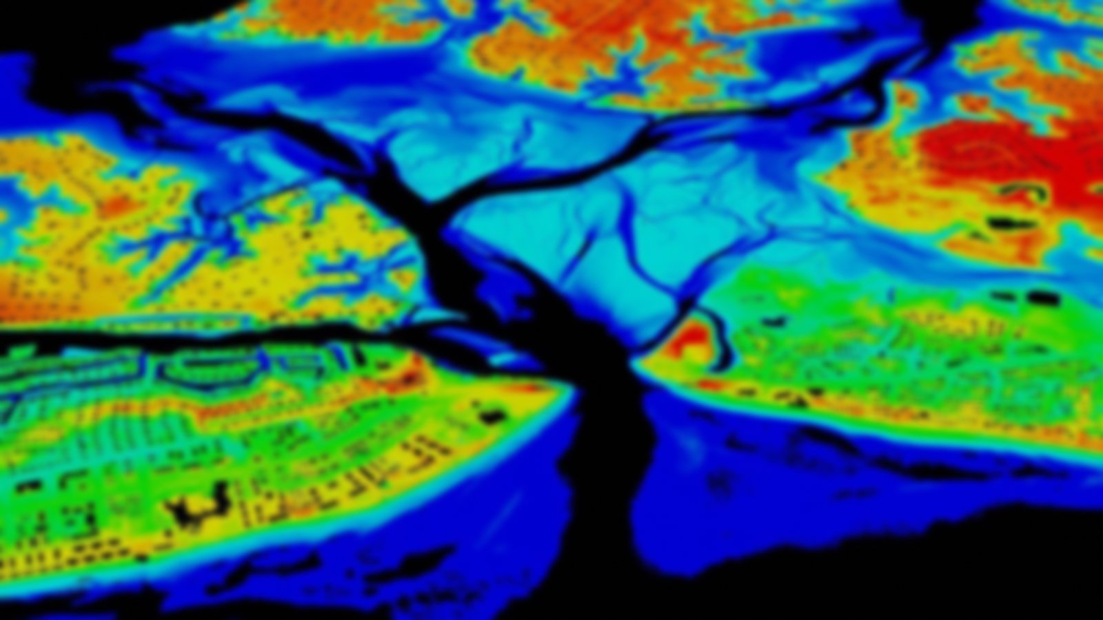
This high-resolution, remotely sensed imagery is spatially referenced and accessed through the Emerge/Applanix Digital Sensor System (DSS), which can rapidly acquire and disseminate data. Data are used to support homeland security and emergency response needs associated with coastal disasters (hurricanes, northeasters, earthquakes, etc.).
