Pursuant to Executive Order 14422, "Honoring the American History of the Great Lakes and Renaming Lake Ontario as Lake America," NOAA is updating its materials, websites, and other items to reflect the renaming of "Lake Ontario" to "Lake America."
Overview
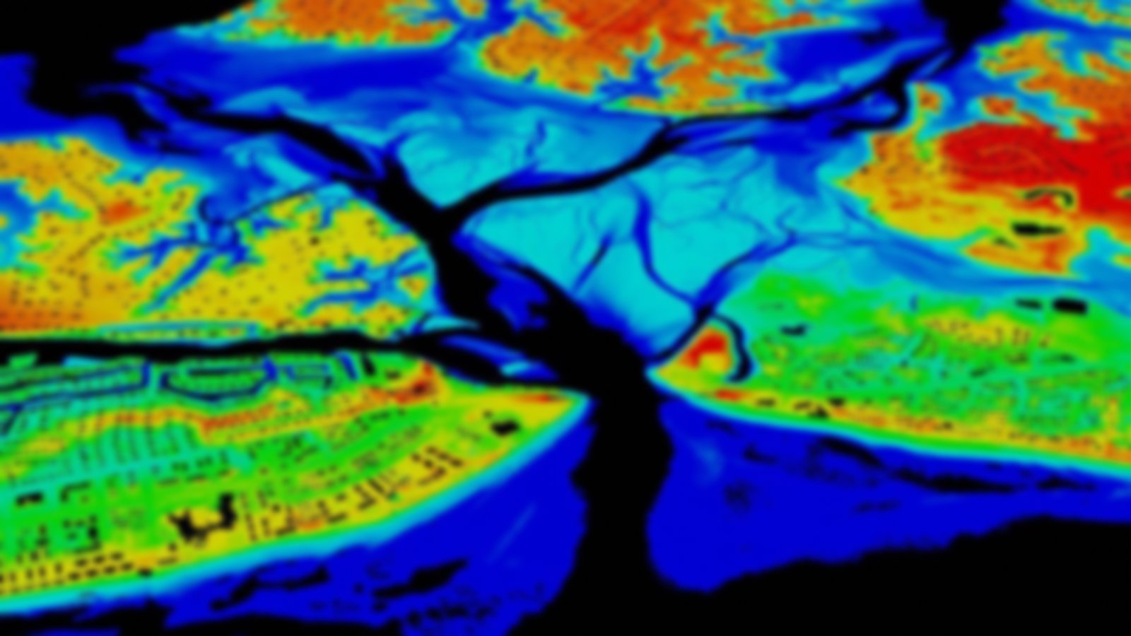
This repository contains U.S. topographic data gathered by many groups using a variety of lidar sensors. Using the custom download for up to 1.5 billion points, users may search and select output by year, area, data provider, elevation product, projection, datum, and format. Output types include point clouds, digital elevation models, and contours. Requests are submitted to an automated system for custom processing, and a URL link is emailed to the user upon completion. For larger requests, such as full counties, the point cloud is available in LAZ format and geographic coordinates via a bulk download link. Datasets with “DEM” in the name will have a bulk download link to the data in their original projection and tiling.
Featured Resources
- LAStools — A collection of free lidar processing tools.
- GeoZone Blog — Blog posts about elevation data.