Issue
In American Samoa, identifying waterways affected by excessive sediment and runoff is vital for properly monitoring and managing coastal, nearshore, and coral reef areas. However, American Samoa’s existing water-related data—termed hydrographic data—made accurate assessments difficult because the data had been derived from older topographic maps, and many local features had since changed. Newer, more accurate and detailed hydrographic data were needed by agencies and universities to address a wide range of ecosystem issues and aid in water quality testing.
Process
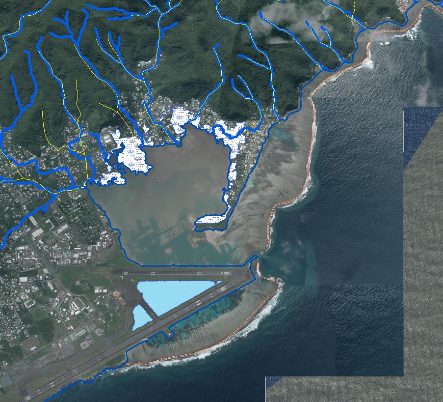
Three coastal partners worked together on a plan to update hydrographic data across American Samoa’s islands. First, NOAA contributed 2012 lidar data featured on the Digital Coast, and the U.S. Geological Survey contributed 2012 imagery. Pacific Island staff members of NOAA’s Office for Coastal Management trained people onsite to extract hydrography features from the lidar, using a methodology modified from an earlier project on Guam. Through the use of ArcMap software processes, watershed information was extracted from lidar, and elevation data helped the team calculate runoff pathways (streams) and sinks (lakes). The result—high-resolution, very accurate hydrography data—was possible because the existing lidar’s point data were very precise. (A nine-centimeter vertical Root Mean Squared Error had been used to generate a one-meter elevation grid). The American Samoa Department of Commerce processed most of the GIS data and performed field checks for ground-truthing.
Impact
The older hydrography data now have been replaced by American Samoa’s new data, which are available for public access as part of the U.S. Geological Survey’s National Hydrography Dataset. In addition, the new data include the official NOAA coastline for the American Samoa islands, a key mapping component. Local and federal agencies and organizations are relying on the data for research and management applications. The American Samoa Department of Commerce maintains the new data. The U.S. Geological Survey will be conducting trainings and has also provided updating tools and additional maintenance tools through the National Hydrography Dataset. (2016)