Overview
This catalog of publicly available, high-accuracy elevation data for the United States and its territories is collaboratively maintained by six federal partners. The inventory provides an important central location for information about elevation datasets and decreases duplicate data collection efforts.
Features
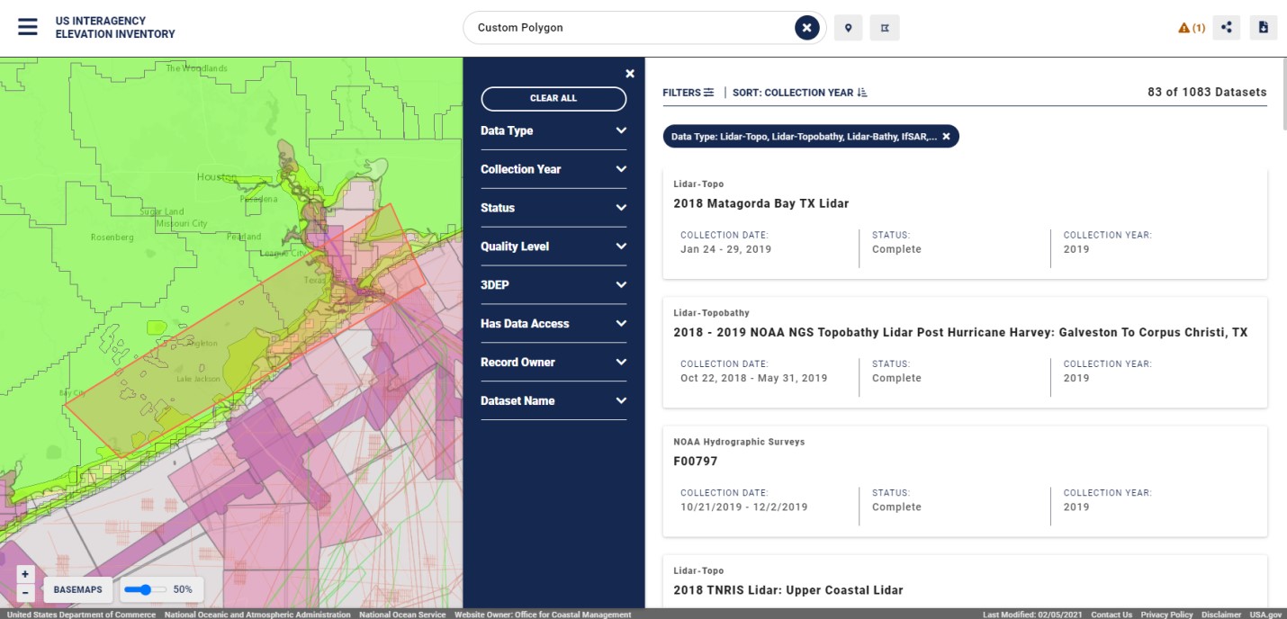
- Find topographic and bathymetric data
- Investigate available dataset details
- Download data
Additional Information
Data
Support
Tool Screenshots