Issue
The Commonwealth of the Northern Mariana Islands is located in one of the most earthquake-prone areas of the world with over 20 potential tsunami hazard sources. While the islands already had tsunami hazard models, residents, visitors, and emergency managers had no official evacuation maps. Tsunami preparedness on the islands of Saipan, Tinian, and Rota hinged on a collaborative mapping effort.
Process
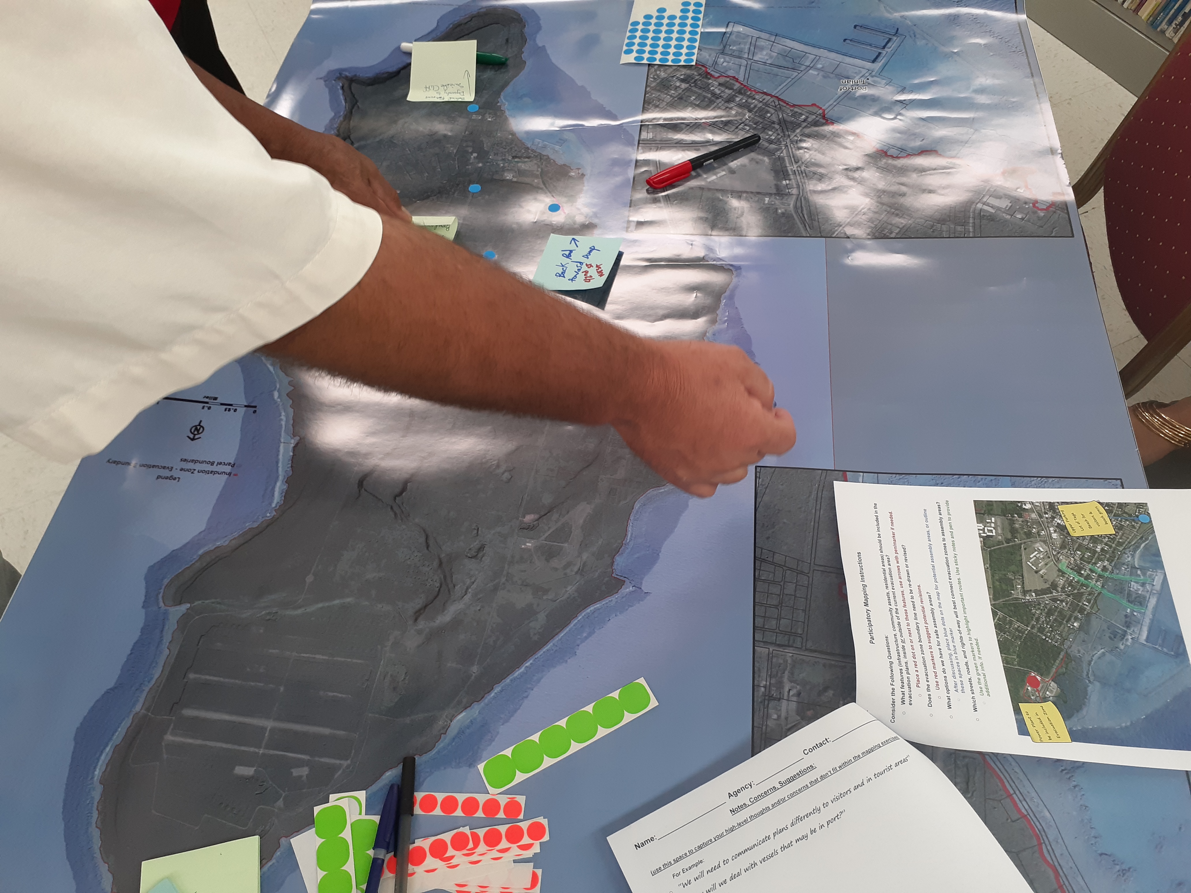
Pacific Coastal Research and Planning and the commonwealth’s Office of Homeland Security and Emergency Management reviewed tsunami hazard models and maps from 2009 and compared the data with NOAA 2020 topobathy lidar. Partners were able to identify additional hazard-prone areas, use digital elevation models to revise the tsunami hazard zones for each island, and delineate priority evacuation areas. They also used the lidar data to develop basemaps and graphics for a series of 10 participatory mapping workshops to gather stakeholder input.
Impact
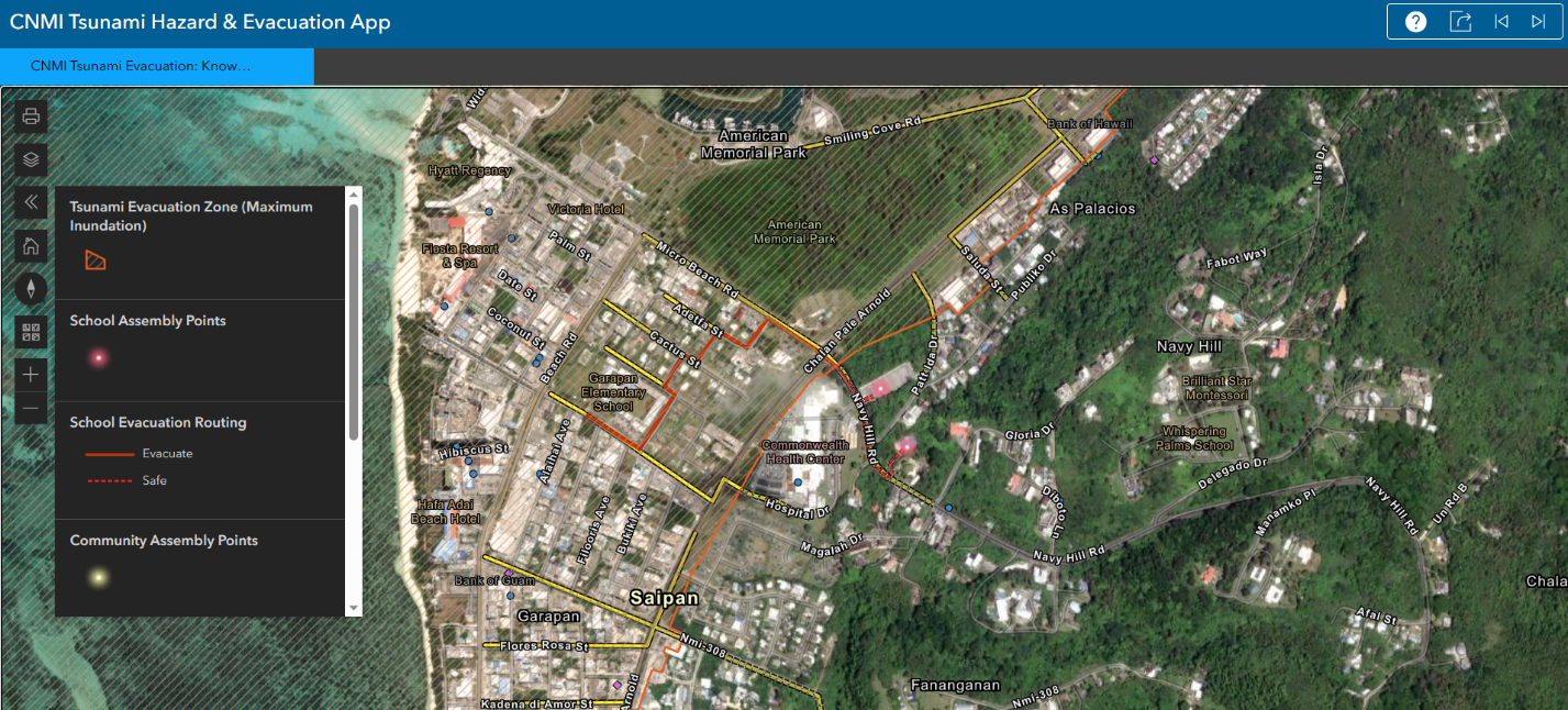
Guided by high-quality lidar products, local partners worked with the community to finalize and formally adopt tsunami evacuation maps for the commonwealth. The maps and an associated web map are being used by the commonwealth’s Office of Homeland Security and Emergency Management in its disaster preparedness and mitigation efforts and further its participation in the National Tsunami Hazard Mitigation Program. (2023)