Overview
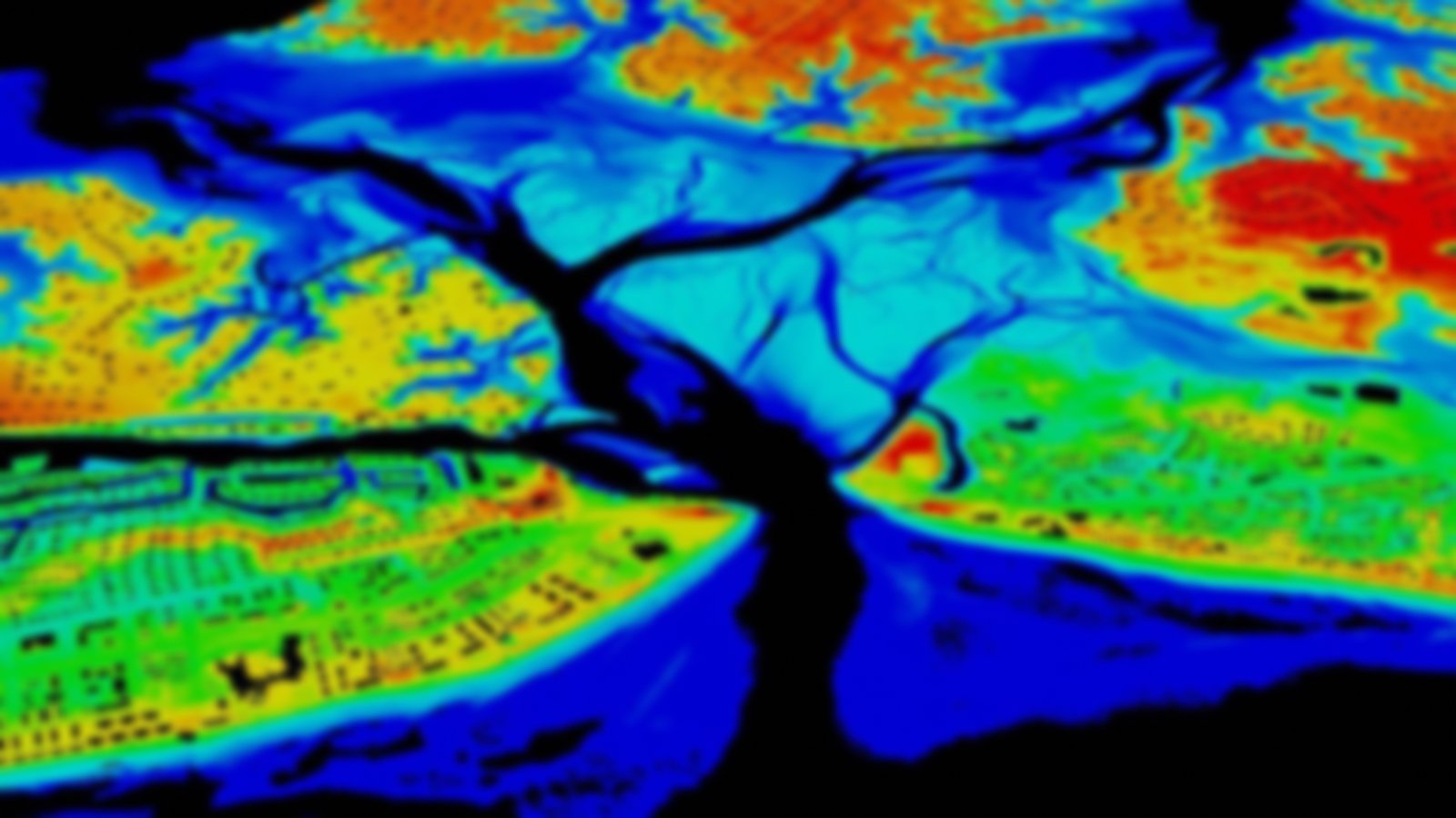
The National Shoreline provides critical baseline data for updating nautical charts, managing our coastal resources, and defining our nation’s territorial limits, including the Exclusive Economic Zone. It is delineated through various photogrammetric sources, including tide-coordinated stereo aerial photographs, commercial satellite imagery, lidar, and other related remote sensing technologies.
Visit the NOAA Shoreline Website to learn more about these and other shoreline data.
