Overview
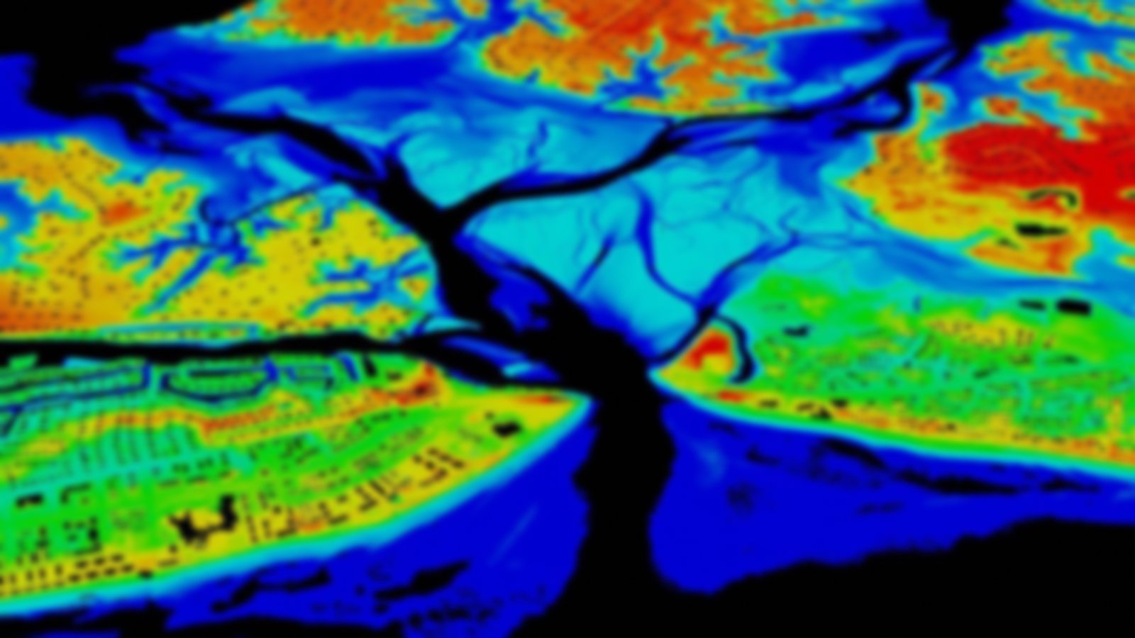
This product provides the most up-to-date shoreline of the United States and its territories. Shoreline is delineated and attributed through the combination of current shoreline surveys and emerging technology. This mean high-water proxy shoreline is based on vertical modeling or image interpretation using water-level stations or shoreline indicators. It has less stringent data acquisition requirements and quality control measures than other methods and does not include many alongshore features, such as piers.
Visit the NOAA Shoreline Website to learn more about these and other shoreline data.
