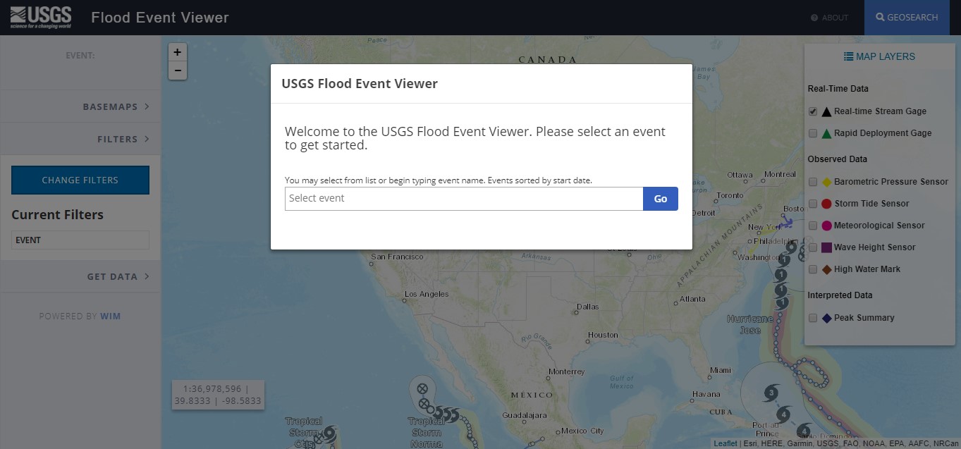
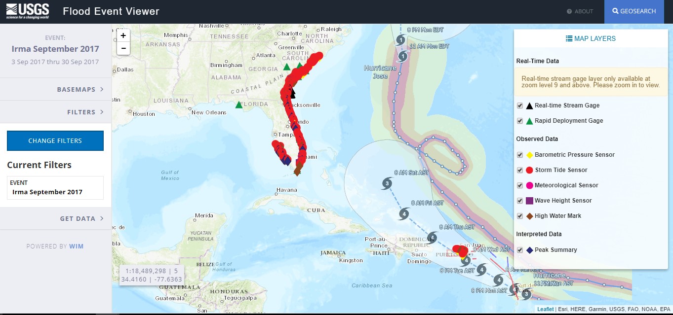
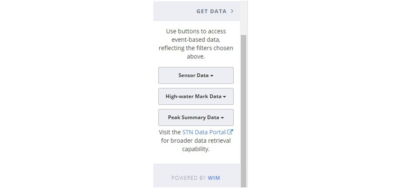
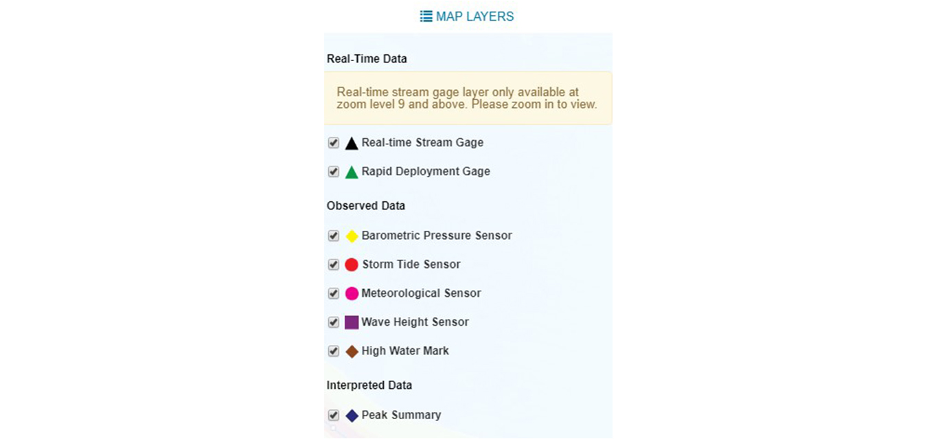
Overview
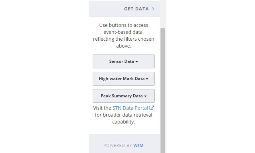
This interactive map provides viewable and downloadable flood event data from the U.S. Geological Survey's Short-Term Network (STN) database.
Features
- View data from all events in the web-based map viewer
- Download data by event, state, and more
- Access the data services for custom mapping applications
Tool Screenshots