Issue
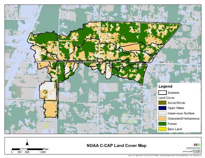
For years, Washington’s Snohomish County engineers have used a parcel-based approach to categorize land use for the purpose of developing hydrologic models. These models are used to predict runoff by analyzing local drainage issues or small-scale stream flows. However, their traditional process has been time consuming and includes a fair amount of subjectivity. In addition, the 30-meter land cover data have been too coarse for use in determining land cover at the scale needed for the hydrologic models.
Process
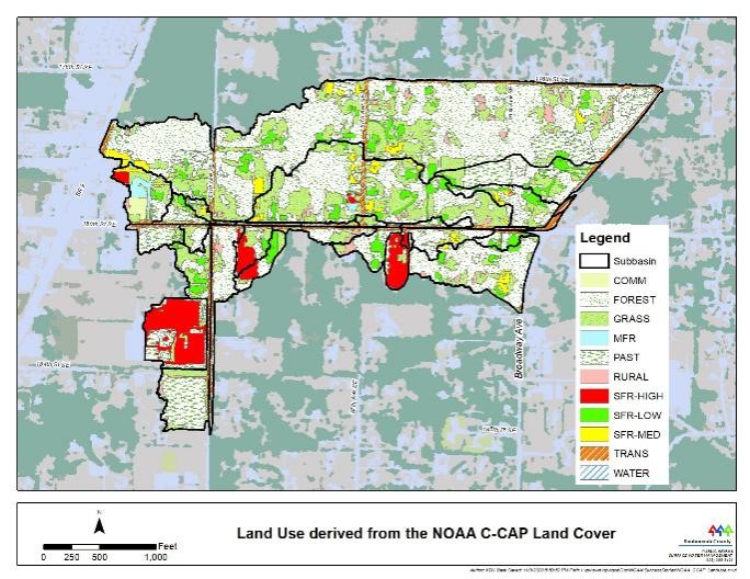
To improve efficiency, Snohomish County began using NOAA’s high-resolution C-CAP land cover data. Their engineers and GIS staff developed a tool to convert these high-resolution data into a format that could work with the Hydrological Simulation Program–Fortran (HSPF), the product used to generate stormwater runoff models. This method has proved to be more efficient and consistent in designating land cover for hydrologic modeling.
Impact
Snohomish County believes this effort leads to improved hydrologic modeling results. While Snohomish County continues to use both the traditional method and the one using NOAA C-CAP high-resolution data, they expected that the HSPF land use data will be solely derived from the NOAA coastal land cover product once a thorough review process is complete. The new approach provides county engineers with an efficient and reproducible method for land cover designation, which will help them more easily determine local stream flow and any drainage issues in the county. (2020)