Issue
Natural disasters, such as hurricanes, are extremely difficult to recover from for communities that face day-to-day stresses like poverty and insufficient healthcare. Numerous data exist to help prioritize recovery efforts, but is the information getting to those who consider poverty and health concerns in recovery efforts? There is a need to deliver these data in a way that helps emergency responders and the public health workforce prioritize locations for response and recovery efforts, as well communicate risk to others.
Process
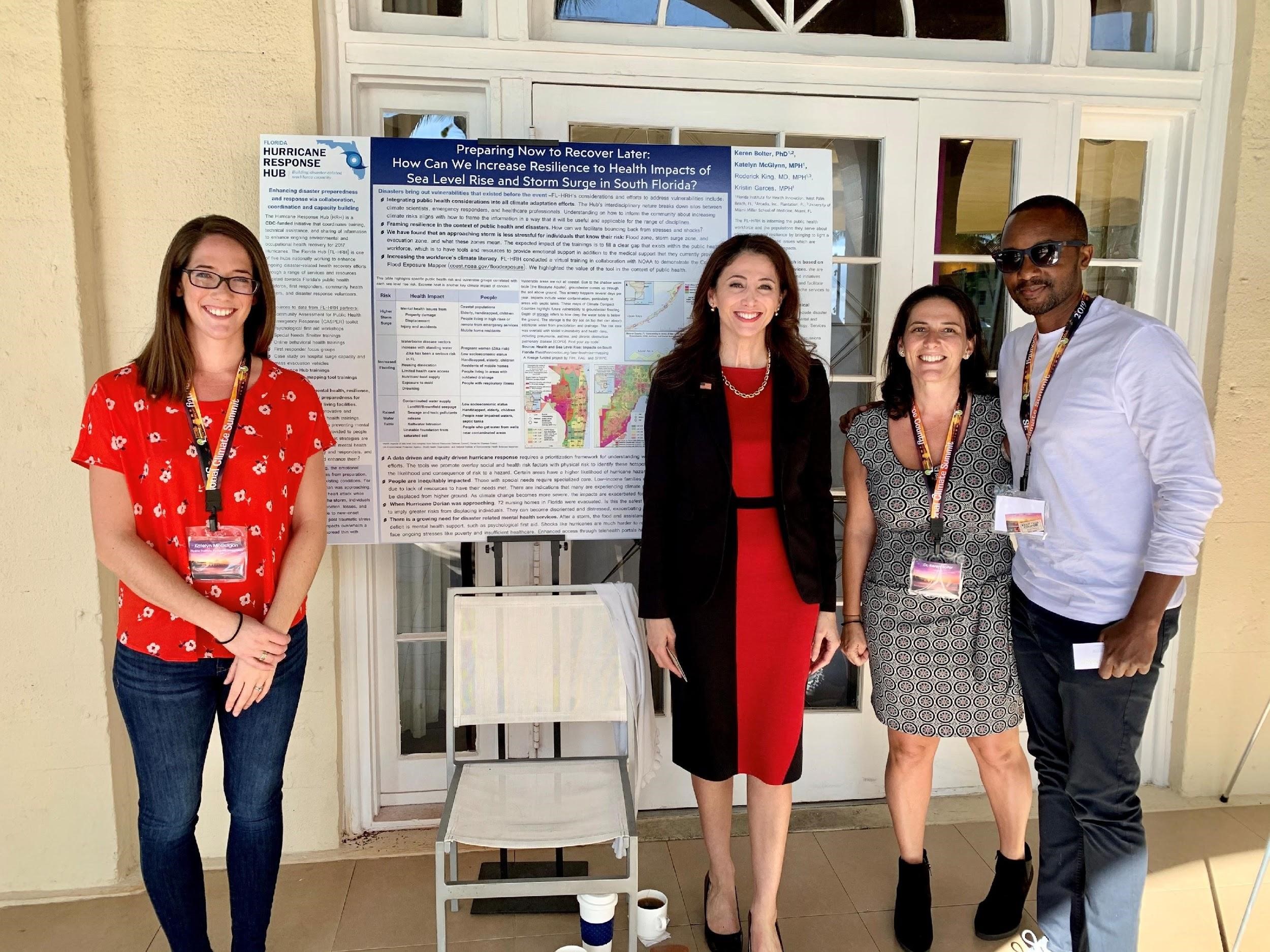
To deliver data in a coordinated way to support response and recovery efforts, hurricane response hubs were created through a Centers for Disease Control-funded initiative. The hurricane response hubs are tasked with coordinating training, technical assistance, and sharing of information to enhance ongoing environmental and occupational health recovery for geographies impacted by the 2017 hurricane season.
The Florida Hurricane Response Hub is one of five hubs nationally working to enhance ongoing disaster-related health recovery efforts through a range of services and resources targeted at Florida’s public health workforce, first responders, community health workers, and disaster response volunteers.
The Florida hub conducted a virtual training for its network in collaboration with NOAA’s Office for Coastal Management to demonstrate how individuals and organizations could use NOAA’s Coastal Flood Exposure Mapper to create user-defined maps showing people, critical facilities, and natural resources exposed to coastal flooding. The hub also demonstrated how the maps could be used to engage community members and stakeholders.
During the virtual training, maps for all five hub jurisdictions (FL, GA, LA, TX, PR) were shown to help participants understand how coastal flooding would impact their communities and how to use the tool to increase their knowledge and understanding of health and social equity implications of natural disasters.
Impact
Professionals representing government organizations, academic universities, nonprofits, media, and private engineering firms from the Florida, Puerto Rico, and Louisiana hubs attended the virtual training on the Coastal Flood Exposure Mapper. Following training, participants worked with their coastal communities to apply lessons learned on how to best use the Coastal Flood Exposure Mapper to understand health and social equity impacts resulting from sea level rise and coastal flooding. (2020)