Issue
Natural land cover is an important attribute of several watersheds along the shore of Lake Superior in Minnesota. Knowing what land cover classes are located within these watersheds, as well as their size and location, is important in determining water quality and watershed health.
Process
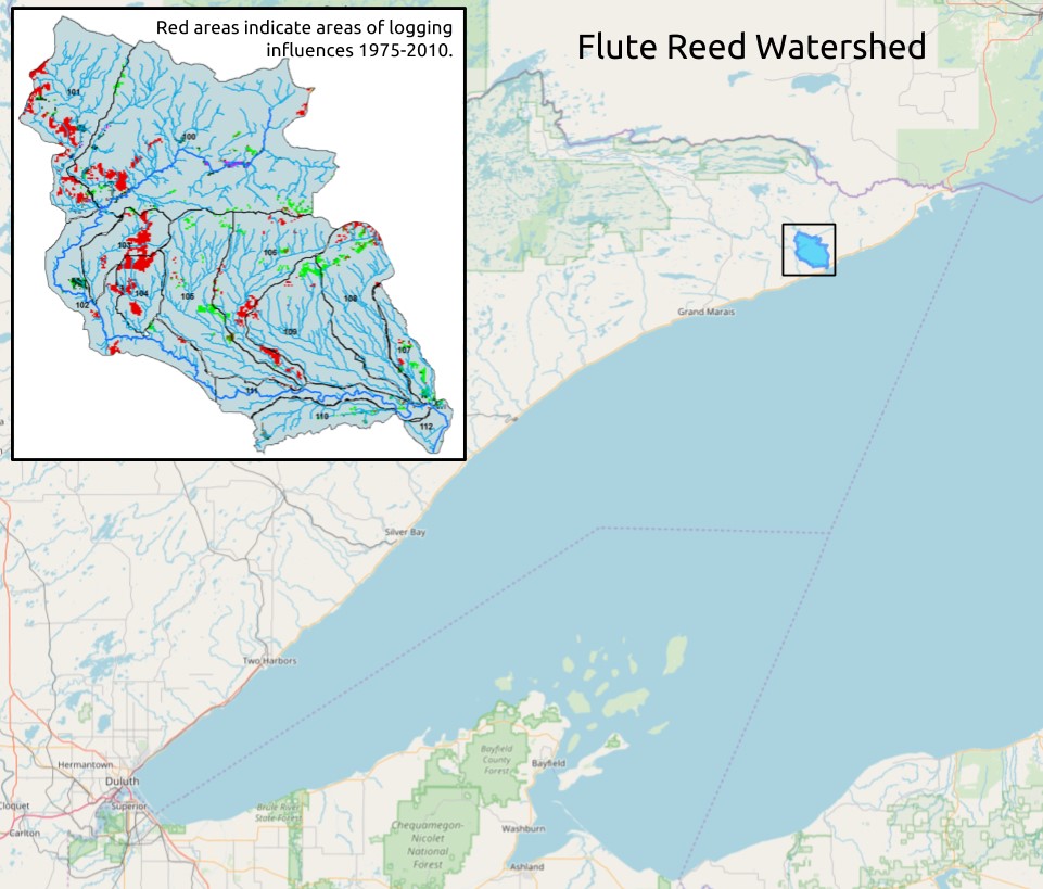
The partners involved in this project utilized NOAA’s land cover data in combination with state-collected lidar to look outside of the stream channel and identify stressors on the landscape within the Flute Reed watershed. This project is a part of the Watershed Restoration and Protection Strategy (WRAPS) process, developed by the Minnesota Pollution Control Agency in partnership with other agencies, to help address identified issues and provide recommendations on how to improve water quality throughout the state.
Impact
This analysis helped identify stressors that affect water quality. The project found that
- Total suspended sediments and turbidity are one of the largest stressors to the watershed.
- Land management is critical, especially in the logging of forests and ensuring best harvesting practices.
- Resource managers need to increase the interest of private landowners in collaborative work.
- Riparian corridors require additional research. (2017)