Issue
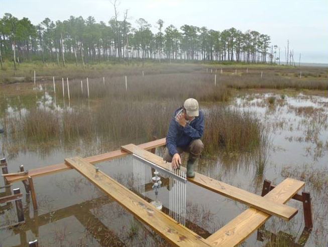
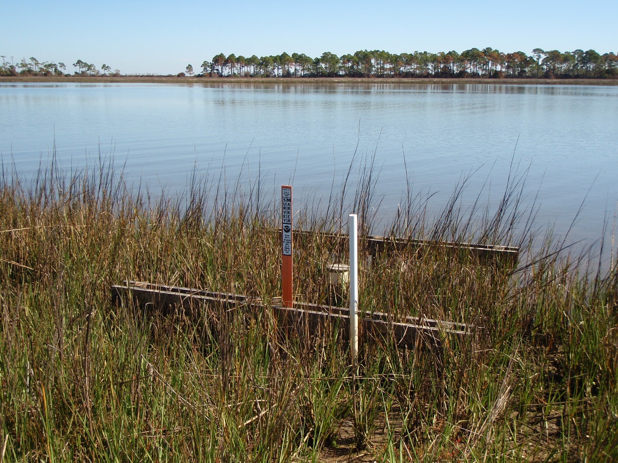
Surface elevation tables detect increases and decreases in elevation in coastal wetlands, thereby shedding light on the ability of wetlands to keep up with sea level rise. The tables are not distributed evenly across the Gulf region, however, and land managers needed help selecting areas for future placement.
Process
Partners in the Northern Gulf of Mexico Sentinel Site Cooperative worked together to identify surface elevation table gaps across the five Gulf states. They focused on wetlands owned or managed by federal or state agencies and used NOAA land cover data to identify different types of habitats. Knowing the height of existing tables helps managers determine where there are gaps, so they used digital elevation models to identify the elevation at which existing tables were placed. The data and models were also combined with precipitation and temperature data, and GIS analysis helped contribute to the identification of gaps.
Impact
The results of the gap analysis were shared with resource managers and funding agencies to inform decisions about future placement of surface elevation tables across the Gulf Coast. Continued enhancements to the region’s network will reveal how different types of wetlands respond to sea level rise over time.