Issue
The Guam Coastal Management Program’s mission is to protect and enhance the quality of the coastal environment while maintaining a balance of sustainable uses of resources and environmental capabilities. Stormwater runoff and coastal development threaten Guam’s coastal zone, impacting coastal resources such as coral reefs, native habitat, and water quality in aquifers.
Process
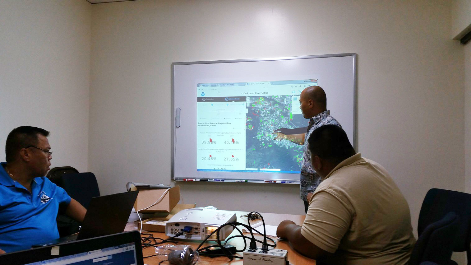
When a new development submits its permitting request for an area located in a heavily developed watershed, or one that is past the acceptable threshold for impervious surface percentage, the Guam Coastal Management Program provides guidance to help mitigate additional stress to the watershed. The Digital Coast’s Land Cover Atlas provides non-GIS planners with a user-friendly interface to access land cover data in a particular watershed. Coastal managers can quickly obtain the percentages of developed areas within the watershed and print a report with current land cover coverage within the area of the proposed permit.
Impact
The Guam Coastal Management Program attaches a printed Land Cover Atlas report to permit paperwork, along with recommendations that will help mitigate any further impacts to the watershed. The report helps to illustrate the current conditions of a particular watershed to the developers and supports the coastal program’s recommendations for water management for each specific permit request. (2016)