Building Capacity for Identifying Hazard and Climate Vulnerabilities in Florida

abstract background image with blue overlay

Issue

Because of Florida’s extensive coastline, many coastal communities are at risk from current and future flood hazards (such as hurricane storm surge, tidal flooding, and sea level rise). The ability to prepare for these hazards requires data and tools that help local planners identify areas of risk and incorporate that information into plans, associated documents, and policies. In addition, building a network of local planners throughout the state that can exchange knowledge about resilience planning and best practices, and collaborate across jurisdictional boundaries, is needed to enhance resilience throughout Florida.

Process

To build capacity in Florida, NOAA’s Office for Coastal Management trained the Florida regional planning councils on how to use several coastal flood hazard assessment tools and conduct workshops with stakeholders to identify hazard vulnerabilities. Following these “train-the-trainer” events, the Florida regional planning councils brought stakeholders together during several workshops throughout the state for training on the tools, one of which was NOAA’s Coastal Flood Exposure Mapper. Participants, including local and regional government staff members, planners, GIS technicians, and other officials, were trained on how to use the tool to identify economic, societal, and ecological assets vulnerable to current and future flood hazards.

Impact

Vulnerable assets identified using the Coastal Flood Exposure Mapper during workshops contributed to the development of regional vulnerability assessments. These assessments support local resilience planning as Florida’s Department of Economic Opportunity (DEO) and local jurisdictions continue efforts to integrate sea level rise adaptation into comprehensive, hazard mitigation, and post-disaster redevelopment plans. Assessments are also informing the designation of adaptation action areas. In addition, they are supporting communities in obtaining FEMA’s Community Rating System credits by identifying vulnerabilities and incorporating flood risk reduction strategies in development and redevelopment projects and various planning documents.

As a result of this work, local capabilities for projecting, assessing, and responding to coastal hazards have increased, and planners throughout the state are able to share lessons learned.

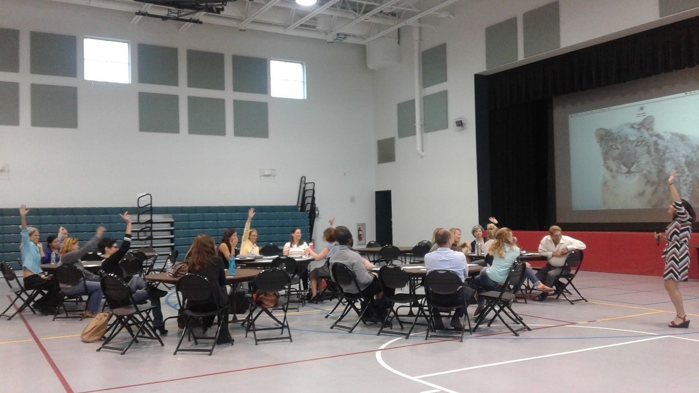
Florida workshop teaches stakeholders about the Coastal Flood Exposure Mapper and national flood hazards
Stakeholders attending one of the workshops held throughout the state to learn about the Coastal Flood Exposure Mapper and how to use it to identify vulnerable community assets.