Issue
With many wild stocks declining, many communities and companies are investigating sustainable aquaculture options. A big question, one that comes up every time: what is the best location? These workshops are helping participants understand how to understand their ocean neighborhood and get the data and information needed to make these decisions.
Process
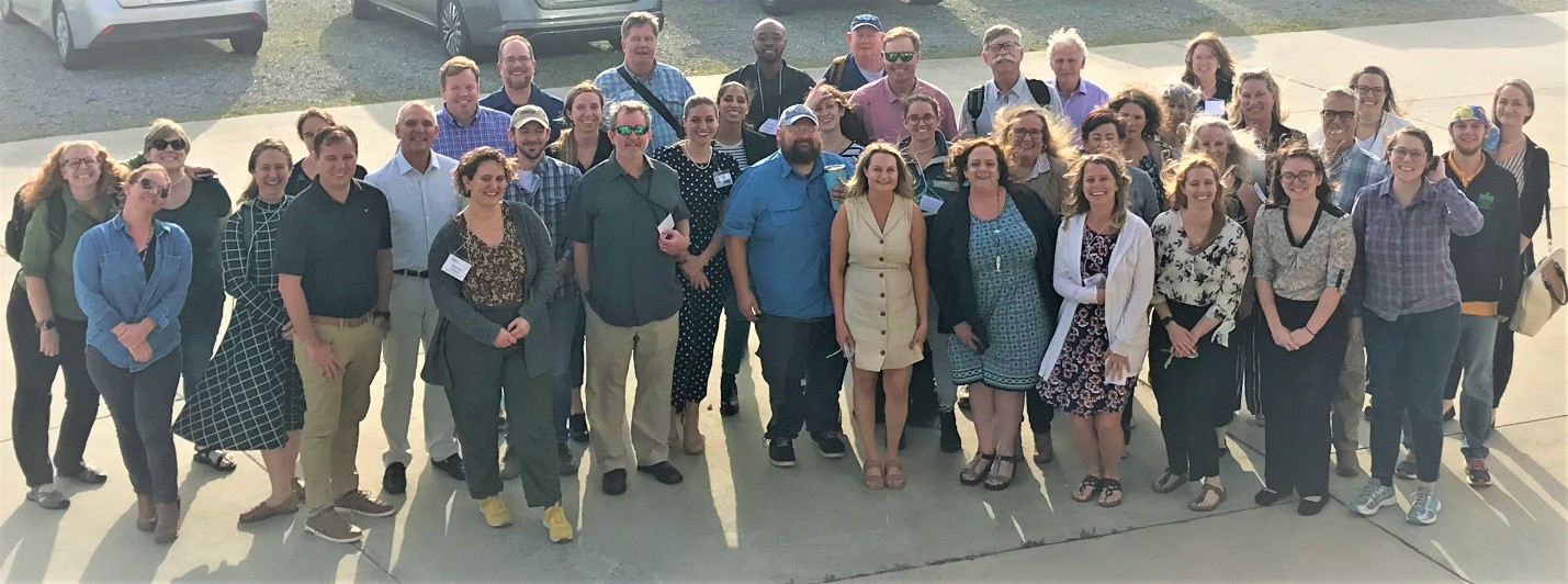
To fuel this fast-growing field, regional Sea Grant workshops are showcasing powerful tools that provide the data and information needed by coastal managers and industry to inform offshore aquaculture development.
NOAA Sea Grant and NOAA’s National Centers for Coastal Ocean Science (NCCOS) developed the workshops to feature NOAA’s Coastal Aquaculture Planning Portal, a toolbox developed with sustainable aquaculture planning and siting in mind, as well as OceanReports and MarineCadastre.gov, which are NOAA and Bureau of Ocean Energy Management (BOEM) partnership products for marine spatial planning. Regional planning tools, such as NOAA’s Gulf AquaMapper, will also be used to support these workshops.
Impact
This process is improving site-selection capabilities for communities, regulators, and potential aquaculture farmers, as well as increasing ocean literacy for students and workshop participants. These workshops will also bolster community support for spatial planning efforts that promote working waterfronts and the Blue Economy. (2023)

