Overview
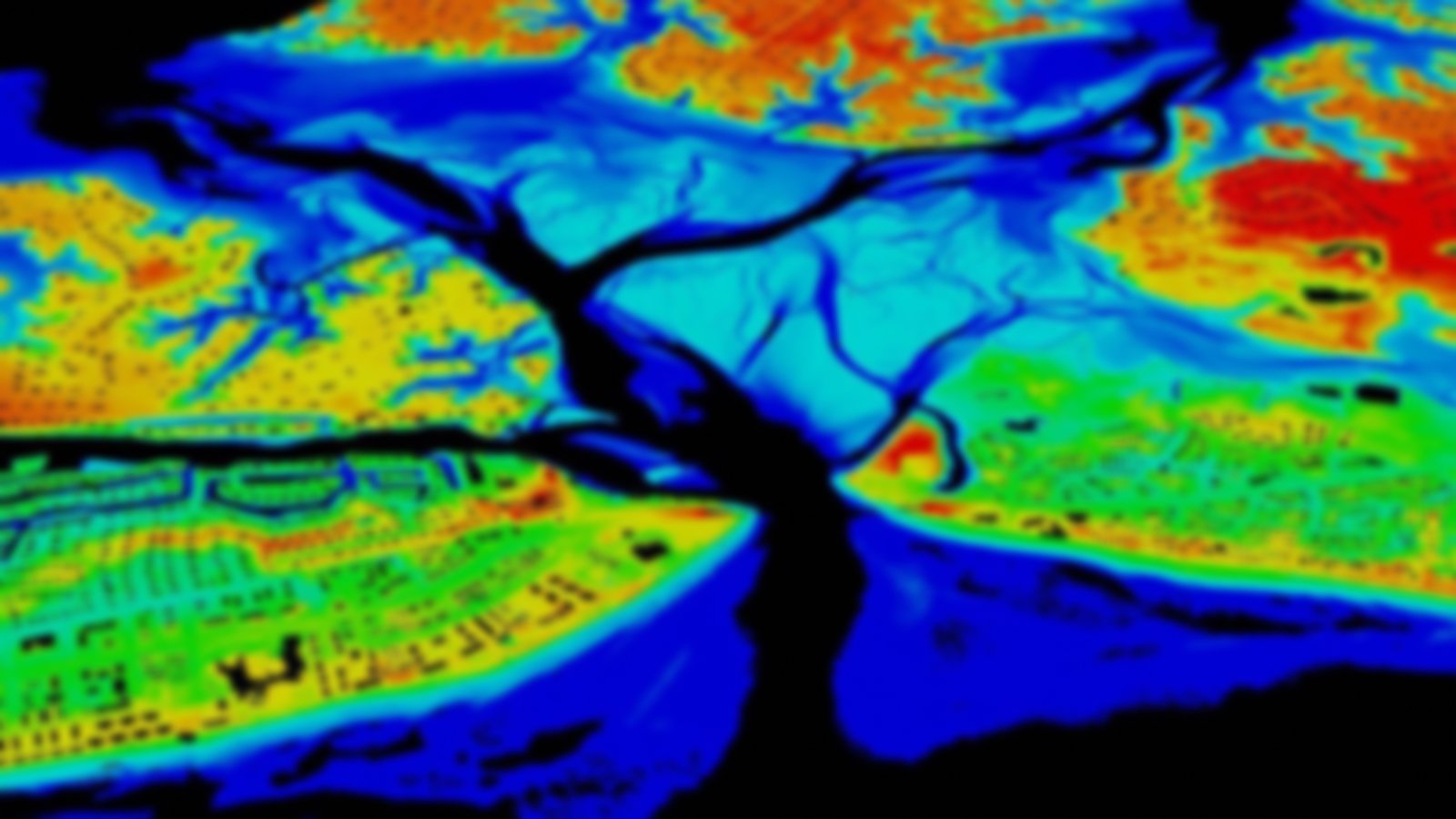
This raster composite of best available topography was created by the U.S. Geological Survey with elevation contributions from many entities. Data are updated on a regular schedule from public domain data and are available at multiple resolutions.
