Overview
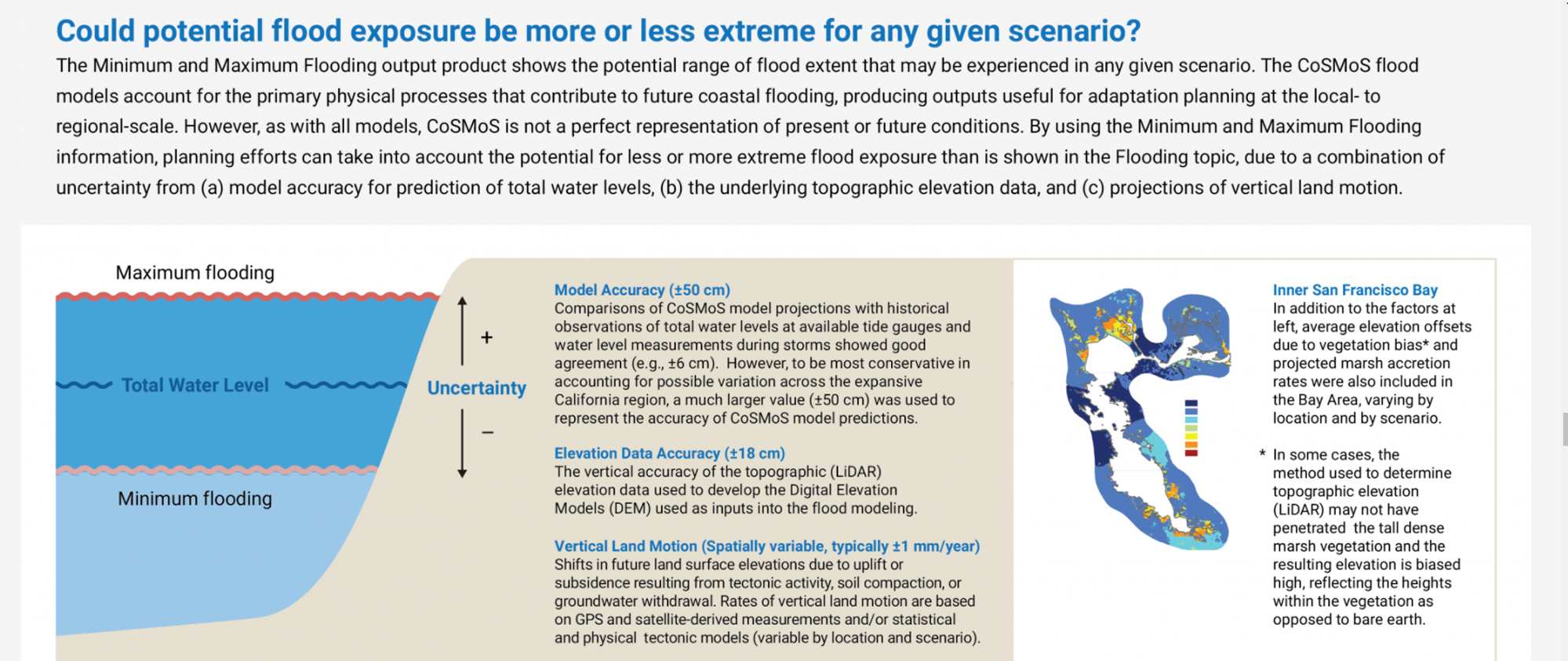
This coastal planning decision-support tool helps users understand, visualize, and anticipate ecosystem and human community vulnerabilities to sea level rise, coastal storms, and shoreline change hazards. The tool is co-developed with the user community to deliver locally relevant, interactive maps, tools, and downloadable products from the U.S. Geological Survey’s Coastal Storm Modeling System (CoSMoS) in a user-friendly web-based platform. Products will eventually be available statewide. Current coverage extends from Point Arena in the north to San Diego in the south, and includes the San Francisco Bay. The modeling for the north coast region is expected to result in products in 2022.
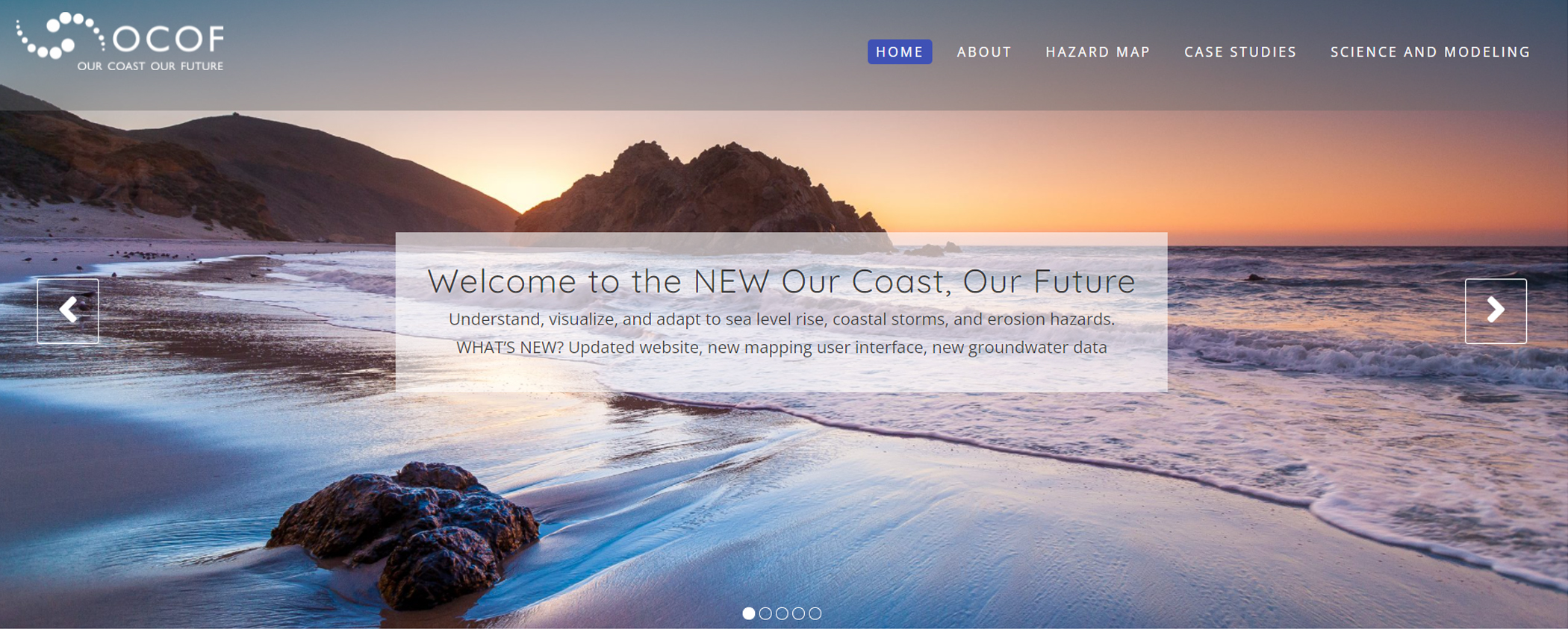
Our Coast, Our Future Homepage
Features
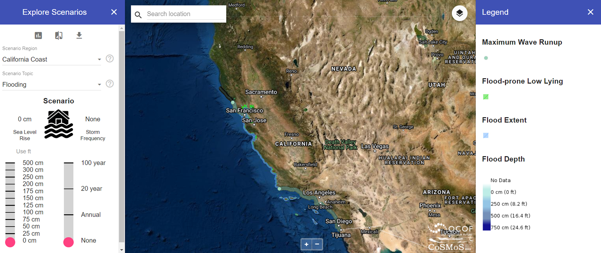
- View locally relevant online maps and tools to understand vulnerabilities to sea level rise, storms, and shoreline change
- Compare a combination of 40 different sea level rise and storm scenarios from the U.S. Geological Survey’s Coastal Storm Modeling System
- Interact with a map that includes flood extent, depth, duration, wave heights, velocity, cliff retreat, shoreline change, and groundwater emergence
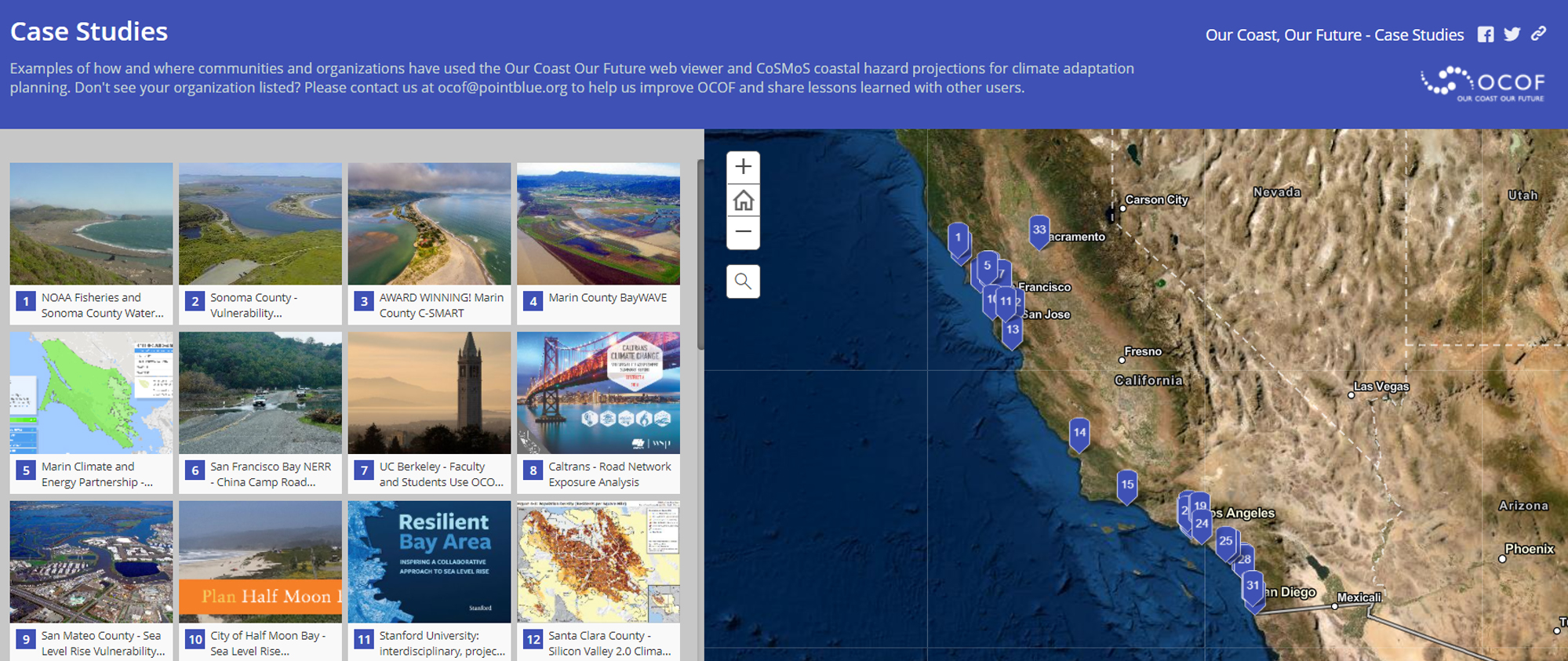
- Download data and learn how and where products have been used for coastal adaptation planning, science, and education and outreach
Additional Information
Support
Tool Screenshots