Overview
This online mapping tool integrates static and real-time data, including Environmental Sensitivity Index maps, ship locations, weather, and ocean currents, into an easy-to-use format. The tool helps emergency responders and environmental resource managers better understand incidents that may adversely impact the environment, including oil spills, chemical spills, and vessel groundings. The tool covers the entire U.S. coastline, providing local response, infrastructure, and environmental data that allow users to find resources at risk, evaluate response plans, perform Natural Resource Damage Assessments, and track restoration activities, all while maintaining data security.
Features
- Inform spill preparedness, ecological recovery, and restoration
- Understand the scope of disasters and coordinate response
- Define potential impacts
Tool Overview Video
Additional Information
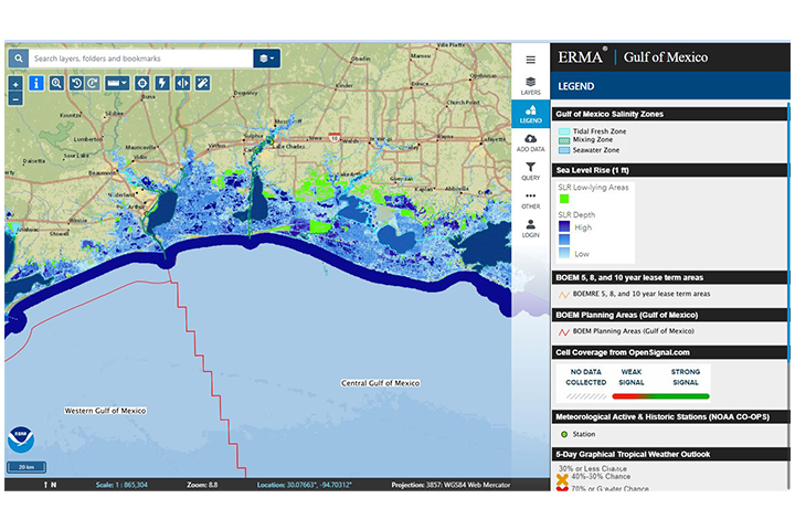
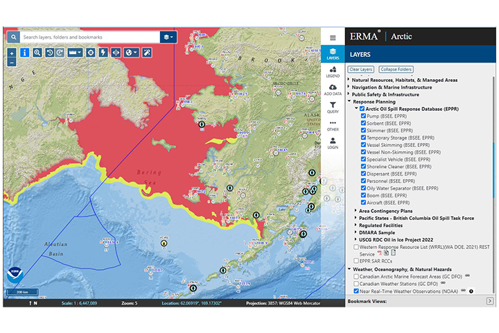
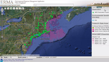
Tool Screenshots