Overview
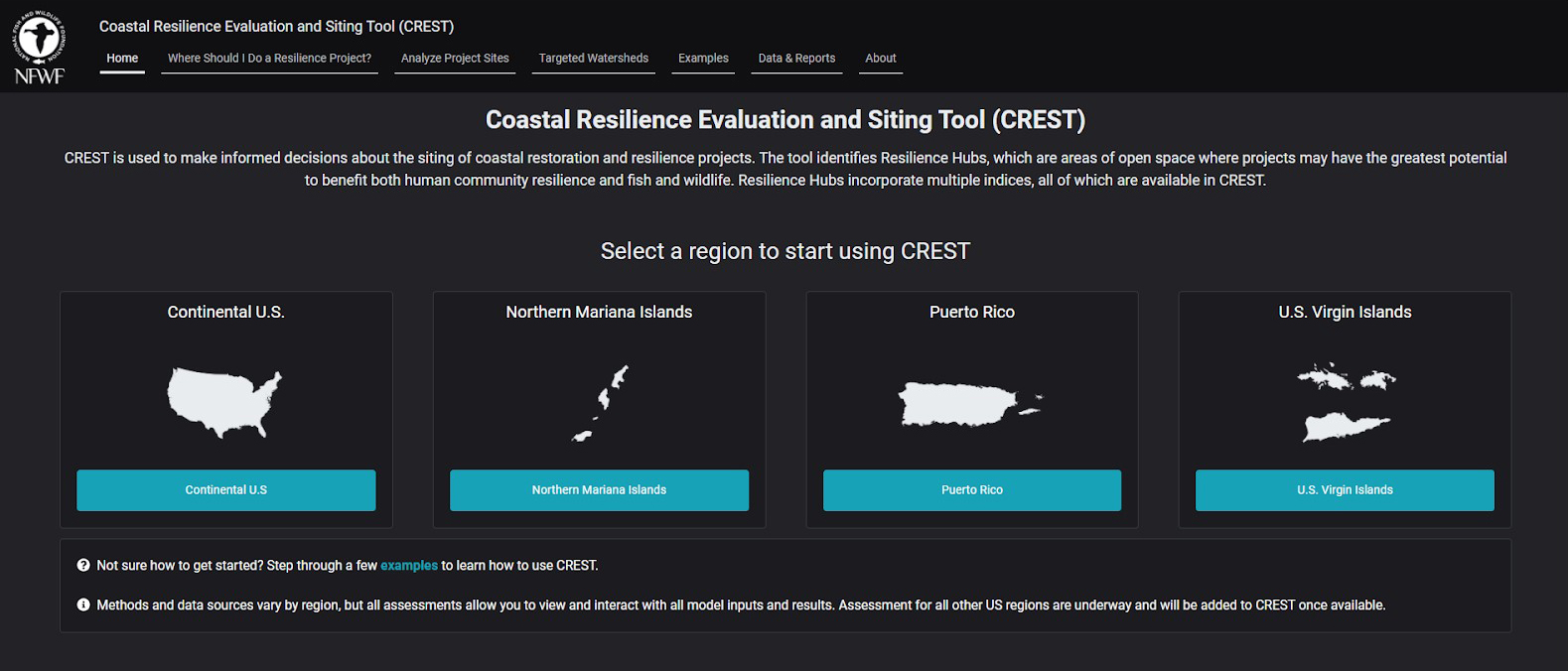
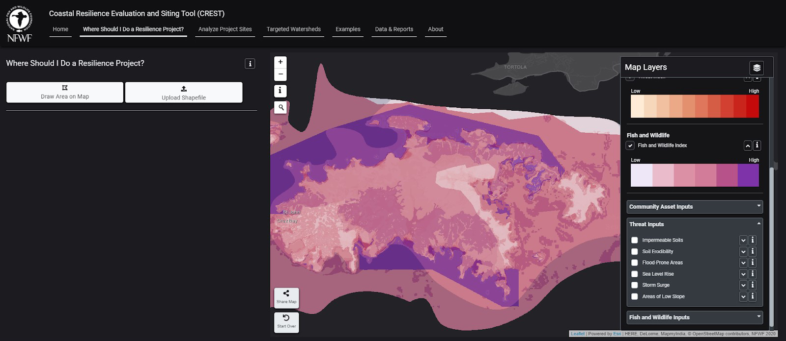
This tool starts the process of identifying large public and private coastal and nearshore land areas ideal for restoration and analyzes their potential to provide maximum protection to human communities, while also restoring or improving habitat for fish and wildlife. The Coastal Resilience Evaluation and Siting Tool, or CREST, integrates data available at the national level, ensuring a consistent and contiguous dataset for U.S. coastlines, while also informing resilience planning and project development in local communities. In territories where national data were not available, local datasets were used.
Features
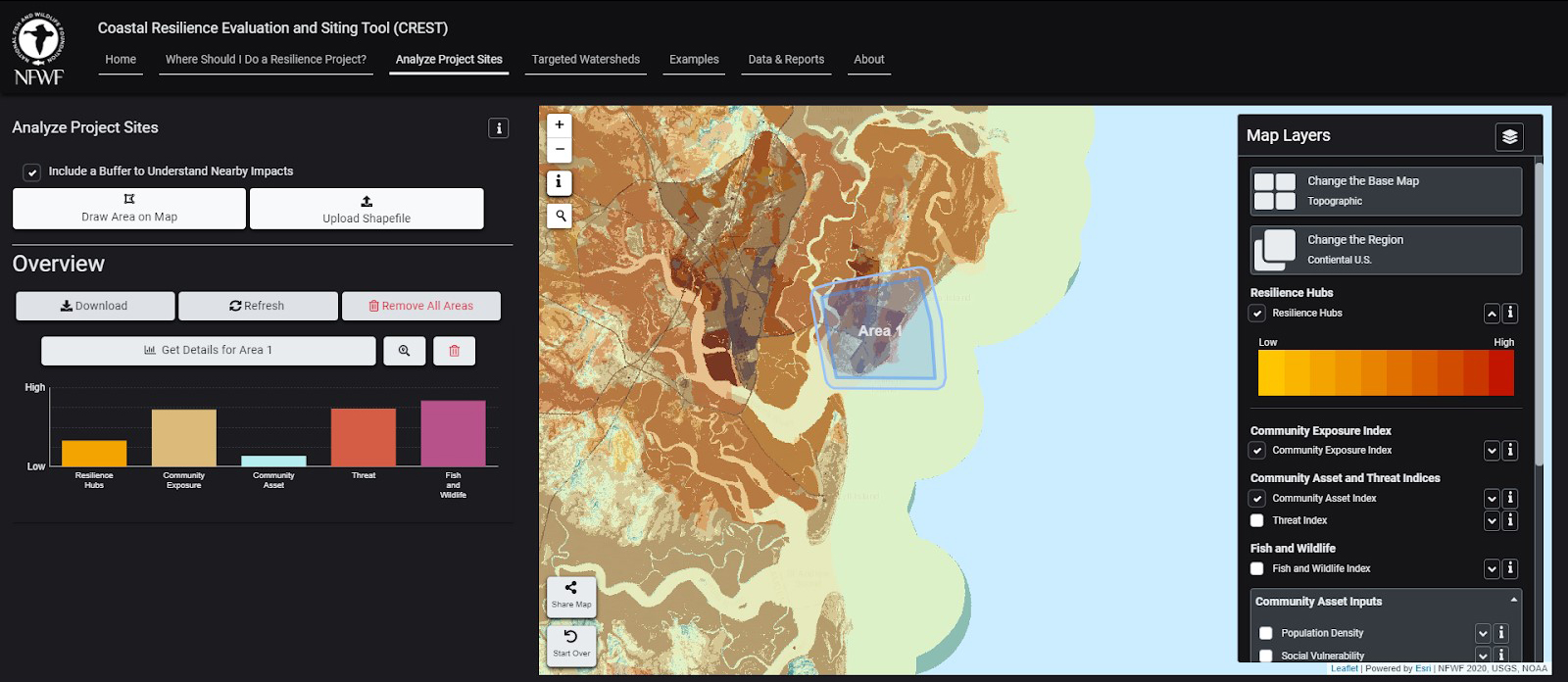
- Compare sites and quantify results
- Identify potential locations for proposed project sites
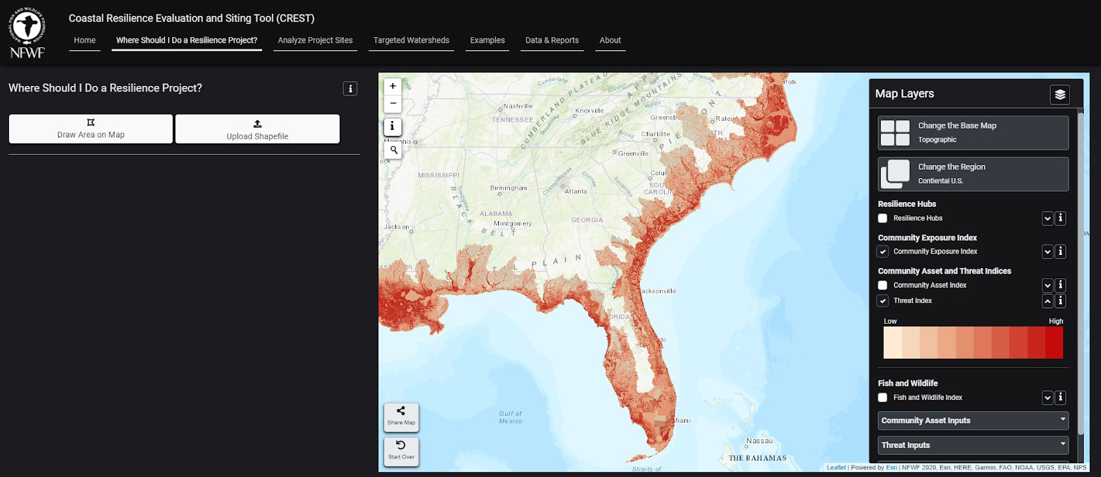
- Access and visualize flood threat, community asset, and fish and wildlife habitat data
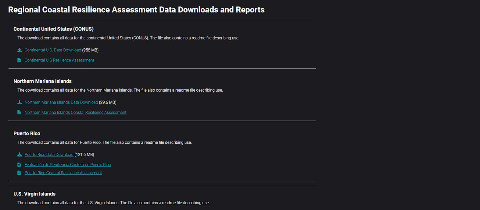
- Download all of the assessment data for further custom use
Additional Information
Support
Tool Screenshots