Overview
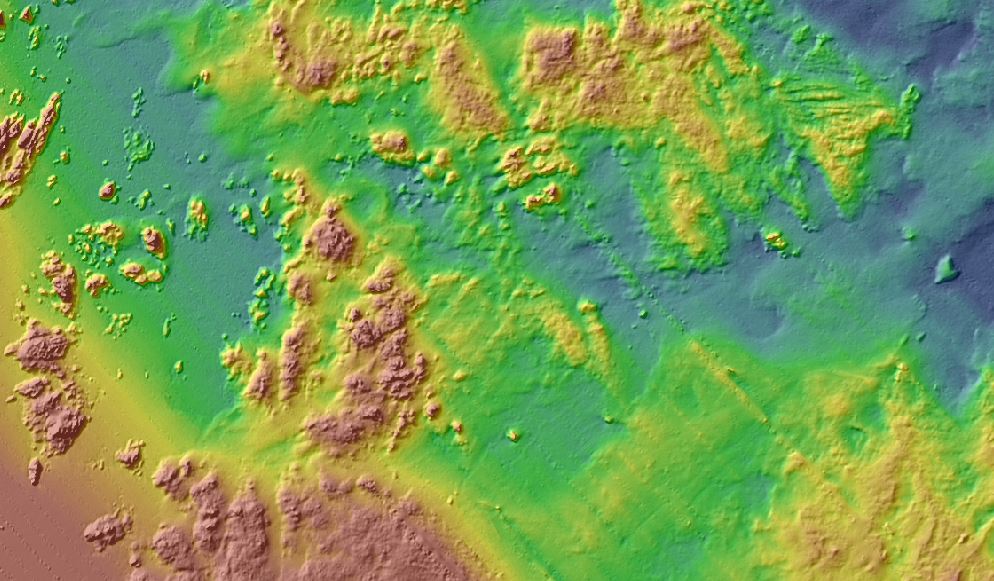
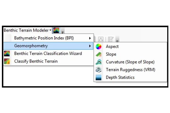
The tools in this collection are used to classify the benthic environment using bathymetric data. Users can create grids of bathymetric position index (BPI) and standardized BPIs, slope, and terrain ruggedness. Additionally, two terrain classification tools can create zone and structure classifications for defining the relationships between them. The downloadable toolbox contains scripts for running individual processes and an Esri add-in for re-creating the toolbar functions available in previous releases.
Requires ArcGIS 10.x and the Spatial Analyst extension
Features
- Process benthic terrain classifications
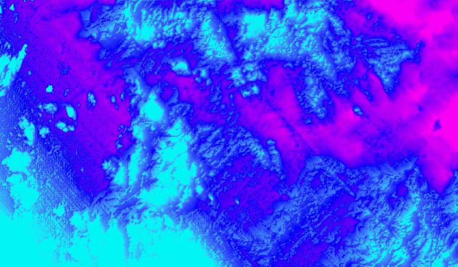
- Create bathymetric position index (BPI) data
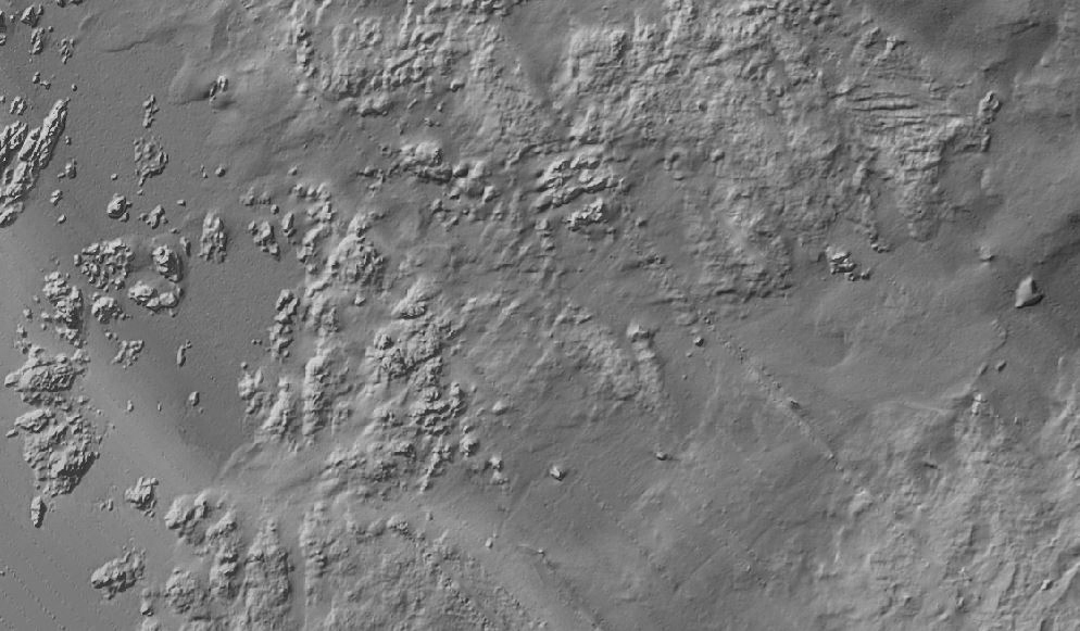
- Measure terrain complexity, or roughness
Additional Information
Support
Tool Screenshots