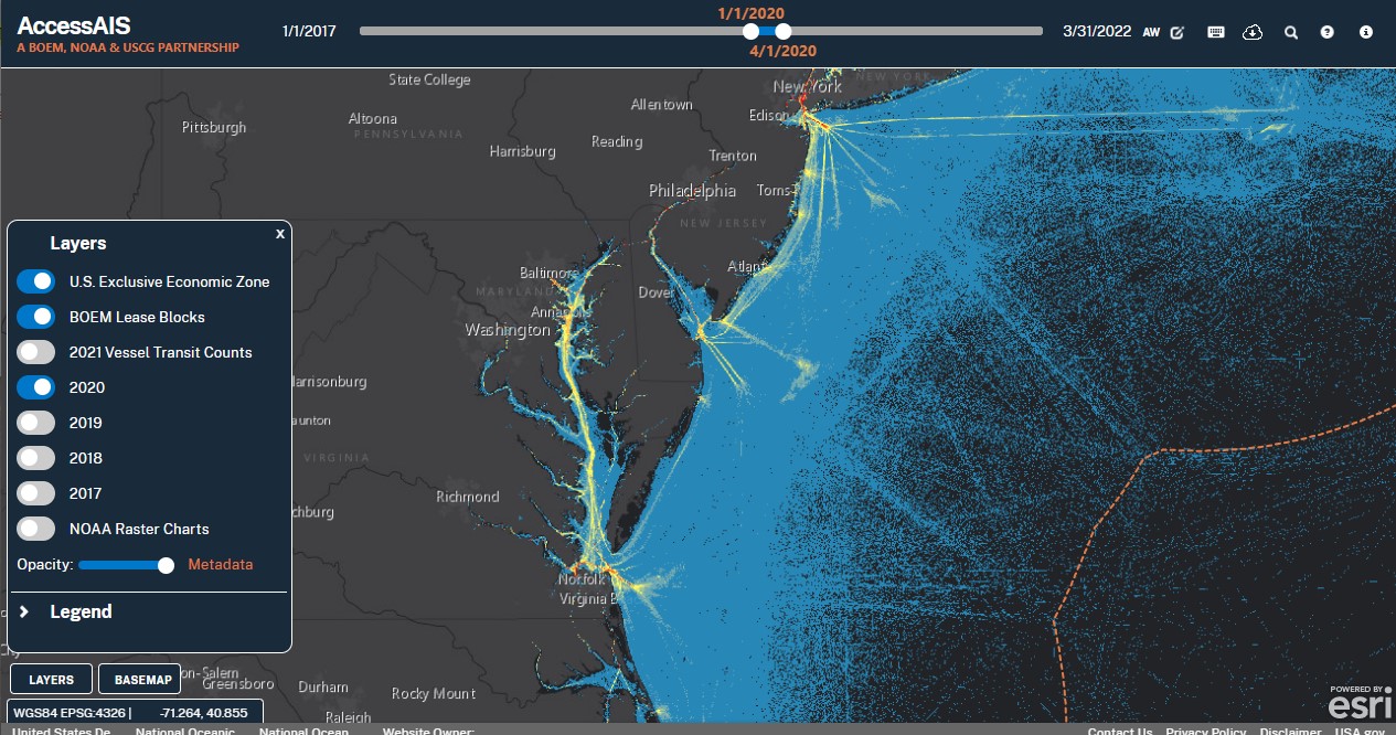
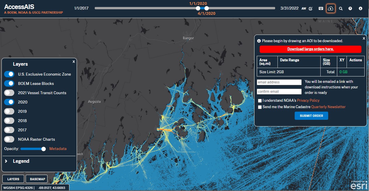
Overview
This web-based tool enables users to interactively download U.S. vessel traffic data across user-defined geographies and time periods. It also provides quick visualizations of traffic patterns and vessel counts. Vessel traffic data are available for the most recent years. Data are added on a quarterly basis and the oldest year will be removed when the most recent year is added.
Features
- Provides a view of vessel traffic patterns
- Functions as a “clip and ship” tool for AIS point data
- Tailors data access to user’s area and time period of interest
Tool Screenshots