Overview
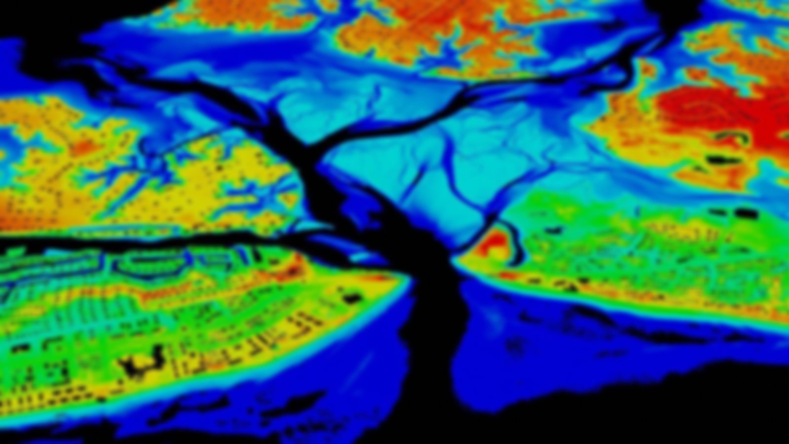
These digital vector shoreline data are extracted from large-scale NOAA nautical charts, or ENCs. The ENC shoreline is collected for navigable waters and accurately depicts the tidally influenced shoreline, including waterways and tidal creeks, since it corresponds to the black line seen on the nautical charts.
Visit the ENC homepage to learn more.
