States / Maryland
Maryland
Coastal Management
The focus is on managing coastal areas to increase resilience, with an emphasis on balancing environmental, economic, and human wellbeing. Mandated by the Coastal Zone Management Act, the two federal programs designed for this task are the National Coastal Zone Management Program and the National Estuarine Research Reserve System. Programs are administered, on the federal side, by NOAA’s Office for Coastal Management, in partnership with the coastal states.
State Programs
Coastal Zone Management
Office of Coastal and Ocean Management. Established in 1978, the Department of Natural Resources acts as the lead agency. The coastal management program is composed of several state planning and regulatory programs whose goal is to protect coastal resources and manage coastal uses, including the Chesapeake Bay Critical Areas Protection Program, whose goal is to protect coastal resources and manage coastal uses. Maryland’s coastal zone follows the inland boundary of the counties (and Baltimore City) bordering the Atlantic Ocean, Chesapeake Bay, and the Potomac River (as far as the municipal limits of Washington, D.C.).
National Estuarine Research Reserves
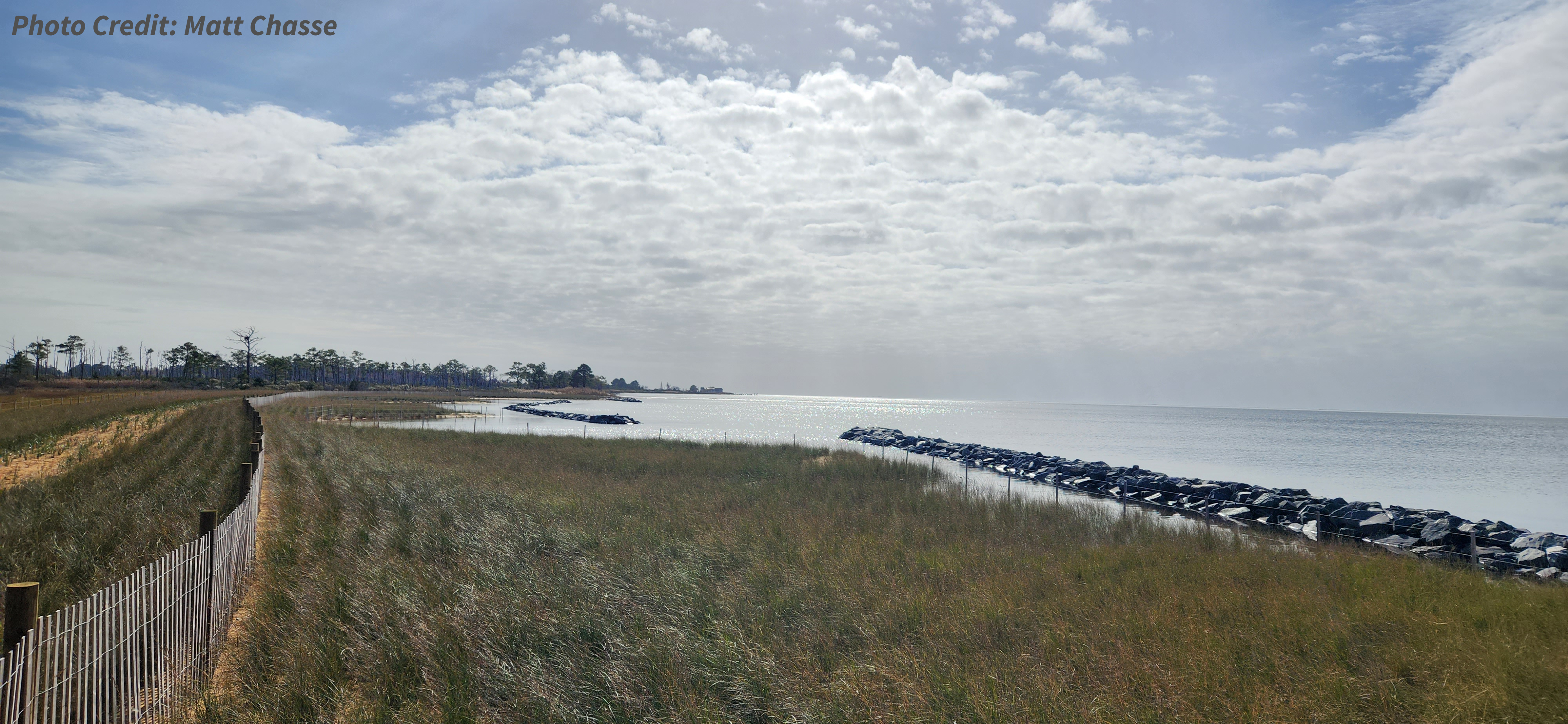
Chesapeake Bay-Maryland National Estuarine Research Reserve. Designated in 1985 and protecting 6,249 acres, this reserve is located in three areas. The Jug Bay component is located 20 miles from Washington, D.C.; the Otter Point Creek component is 19 miles northeast of Baltimore, Maryland; and the Monie Bay component is located 20 miles from Salisbury, Maryland. These sites reflect the diversity of estuarine habitats found within the Maryland portion of the Chesapeake Bay, which is the largest estuary in the United States and one of the most productive water bodies in the world. These tributaries are an important component of the overall health of the Chesapeake Bay ecosystem. (See handout)
Impact Stories
Stories that showcase the recent work of this state's coastal management efforts.
- Jug Bay Wetlands Sanctuary Stream and Shoreline Restoration Implementation
- Research Reserves Deliver Dependable Data for Our Changing Coasts
- Advancing Oyster Restoration with Shellfish Growers in New England, Mid-Atlantic and West Coast
- Assessing Innovative Living Shoreline in Eastern Shore, Maryland
- Building Capacity for Tidal Marsh and Sand Island Restoration on Maryland’s Eastern Shore
- Restoration of an Urban Stream to Create a Holistic Stream, Wetland, and Shoreline Complex
- Utilizing Living Shoreline Techniques to Reduce Erosion in Hoopersville Village District
- Leveraging Cooperative Extension to Build an Enduring Capacity Resilience in Rural Agricultural Communities across Coastal Virginia, Maryland, and Delaware
- Advancing Coastal Resilience through Salt Marsh Restoration in the Maryland Coastal Bays
- Popes Creek Waterfront Park Living Shoreline Design
- Designing for Resilience in Baltimore's Smith Cove
- Jug Bay Wetlands Sanctuary Stream and Shoreline Restoration
- Blue Carbon Enterprises Lessen Climate Change Damage
- Befriending Coastal Birds
Additional Resources
*Fast Fact Sources:
People: American Community Survey Five-Year Estimates
Beaches and Estuaries: Shoreline Mileage of the United States
Employment and Economy:
Marine Economy for the Coastal U.S. States
Marine Economy for the U.S. Territories